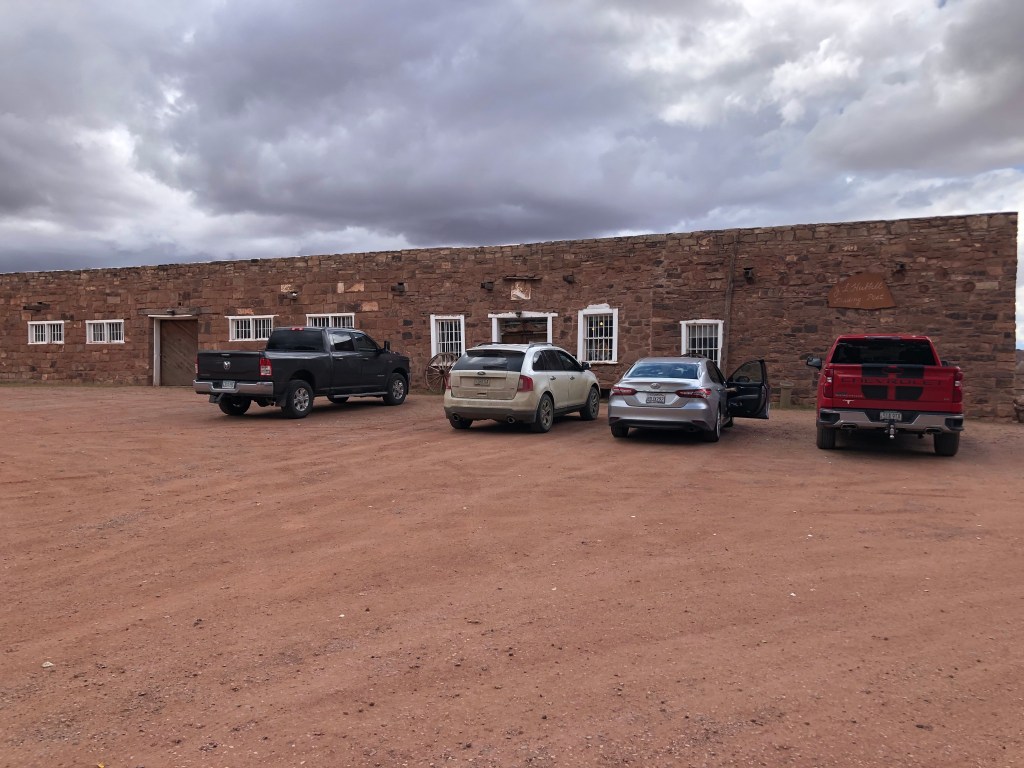
On the way to the Petrified Forest and Painted Desert is a little gem of a place called Hubbell Trading post situated in Granado, AZ. John Lorenzo Hubbell, as a young man of 19 years was shot in the back as he was caught escaping out the bedroom window of the local sheriff. He fled south to some Paiute Indians who nursed him back to health. He then continued south into Hopi territory and worked at a trading post in New Mexico. It was there that he learned to speak the Navajo language, becoming an interpreter between the Navajo and Indian agent Arny. In 1878 at the age of 25 he purchased what is now the Hubbell Trading Post. He also set up about 20 other trading posts throughout the Midwest and was considered by some sources as the most influential person to help the Navajo nation. He was active politically far a great part of his life, hosting dignitaries in his home. Hubbell was well read as can be seen by the vast library in his home. Artwork from the many artists he entertained lines the walls of every room. While we were there, we saw a few Natives lined up in the back room ready to trade their artwork. Hubbell’s is the longest existing trading post, still operating and offering fair, honest trading opportunities for Navajo people. Not bad for a guy with nefarious beginnings! The property was sold to the National Park Service becoming a National Historic Site in 1967.
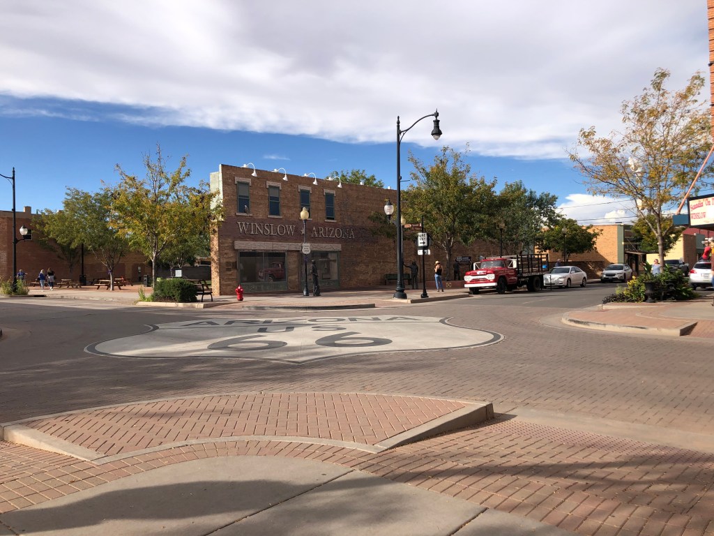
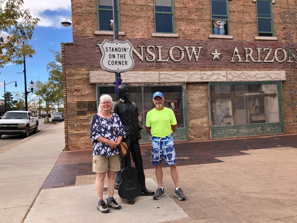
“Well, I’m standing on a corner in Winslow Arizona, Such a fine sight to see. It’s a girl, my Lord, in a flat bed Ford, Slowin’ down to take a look at me.” Eagles, 1972.
With that “earworm” in your head, we want you to know that we actually got to stand on that corner – the intersection at old Route 66 and North Kinsley Avenue. Winslow was a stop on Route 66 until Hwy 40 was built (more on that later), diverting traffic away from the downtown. In 1999 some local businessmen came up with the idea to create “Standing on The Corner” park. It is complete with a mural as a backdrop, two statues (one representing all musicians and the other is Glen Frey) and a red flat-bed pickup truck. They estimate that about 100,000 people visit the corner every year, helping with the local economy. The downtown has some nice shops, but a person can see that its heyday is past as there are many empty buildings.
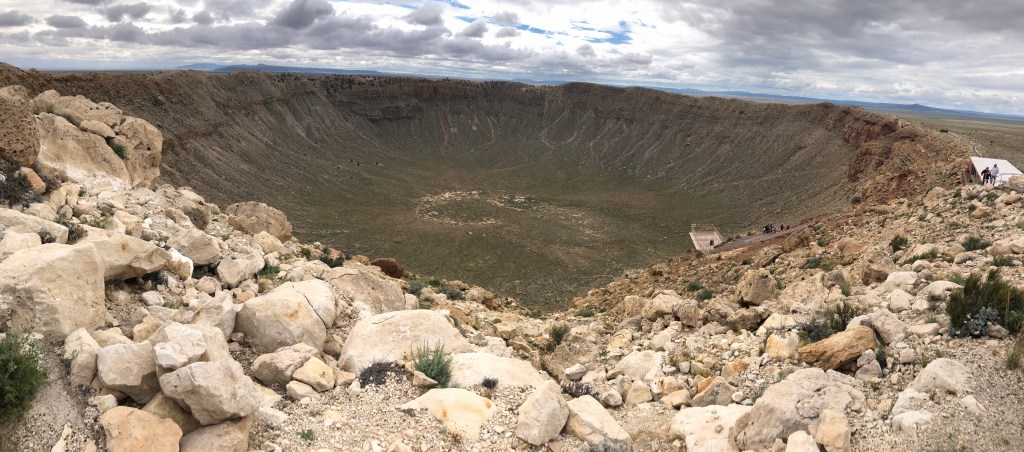
Our next stop was Meteor Crater, 18 miles west from Winslow on the way to Flagstaff. A 150-foot wide meteorite hit the ground at 26,000 mph (not sure who got to clock the speed!) resulting in a hole 1 mile in diameter. 1 million people could watch 20 football games being played at the bottom (all at the same time). I guess all you football lovers would enjoy that! During the 1960’s and 1970’s NASA astronauts trained there for the Apollo missions to the moon. Meteor Crater is one of the largest craters in the world created by a meteorite. The guide there also let us know that there are 17 different kinds of rattlesnakes living there as well as scorpions and tarantulas. I think I will get my boots out!
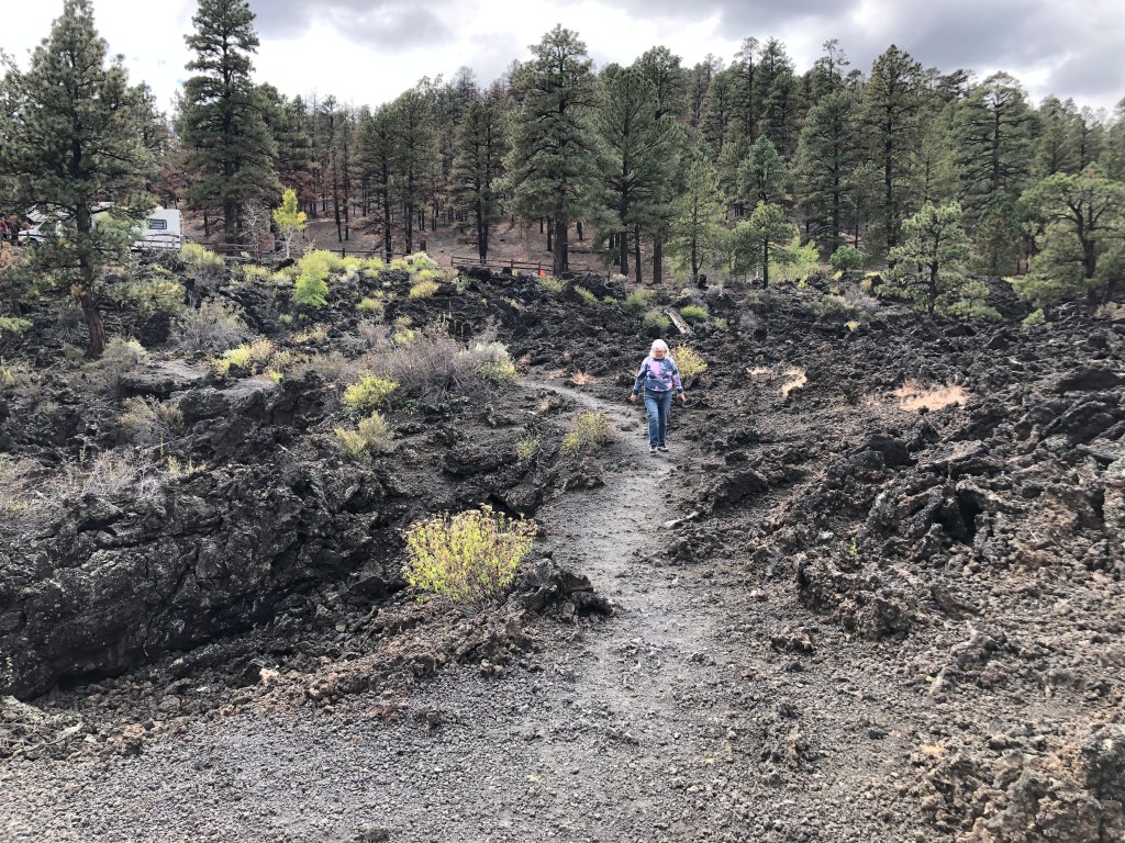
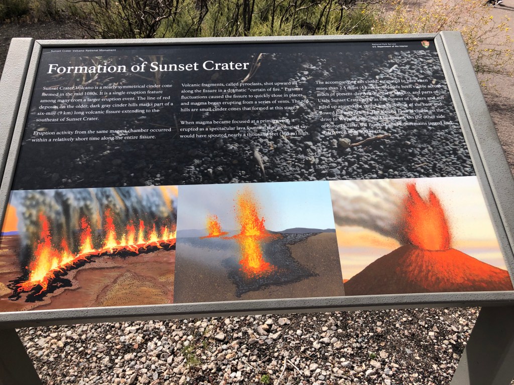
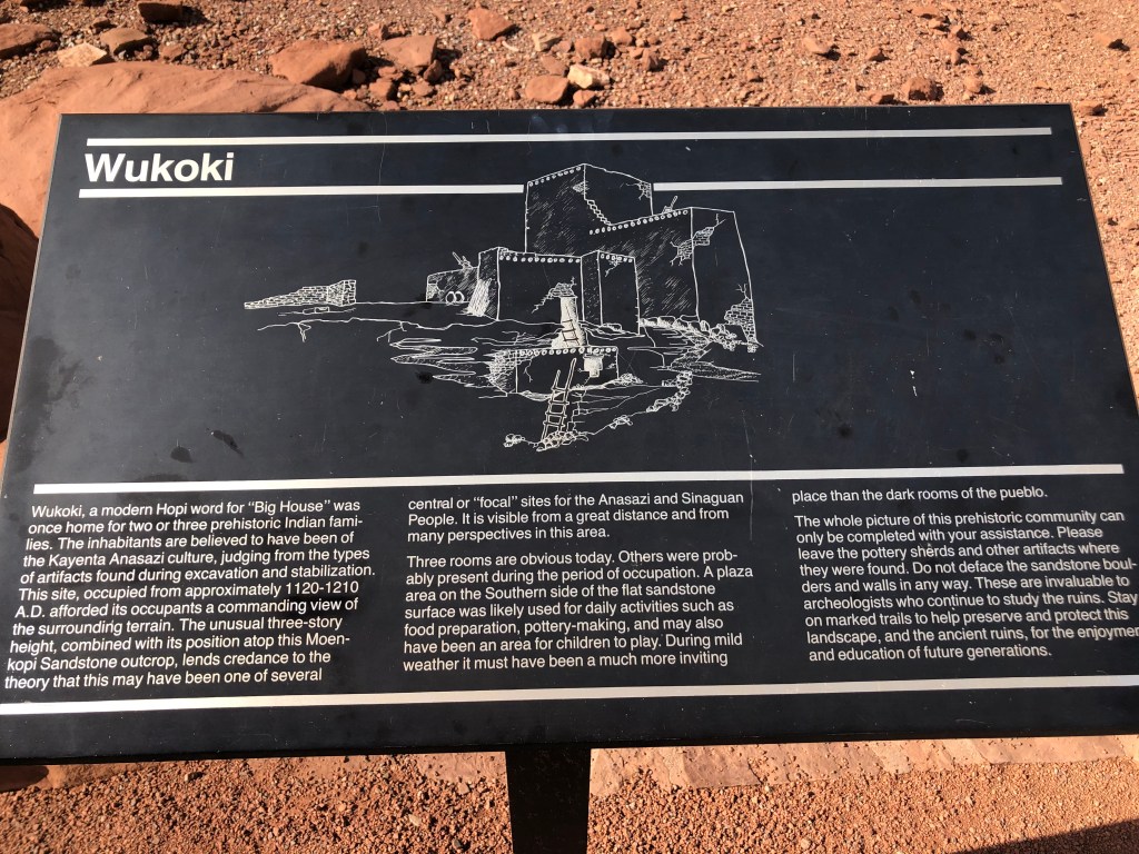
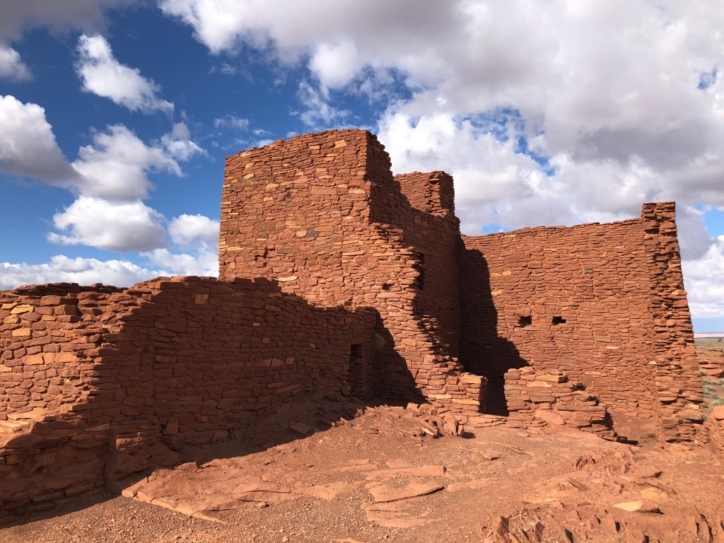
Sunset Crater Volcano National Monument is situated in Coconino National Forest north of Flagstaff. It is a volcano that erupted over 900 years ago leaving large deposits of volcanic rock strewn over miles of real estate. Volcanic dust covers a vast area beyond the lava rock flows. We could see the results of a forest fire in the National Forest in April 2022 – scorched ground and blackened tree trunks. Wupatki National Monument neighbors Sunset Crater N.M. it is the site of many Pueblo ruins, reminders of ancient life.
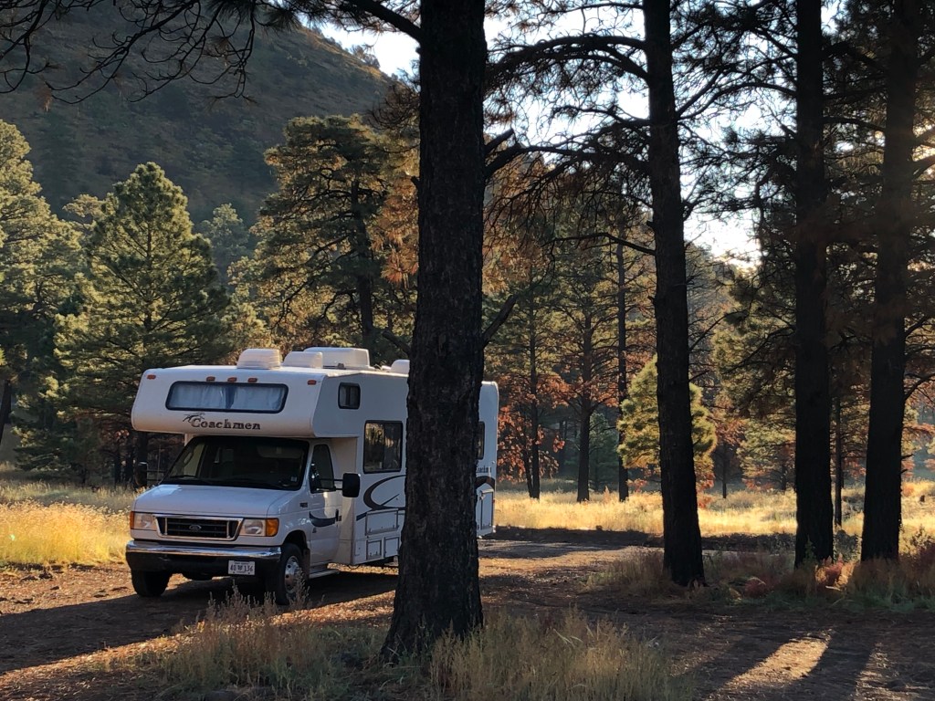
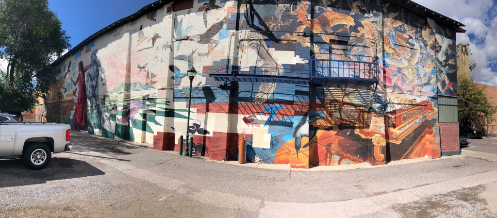
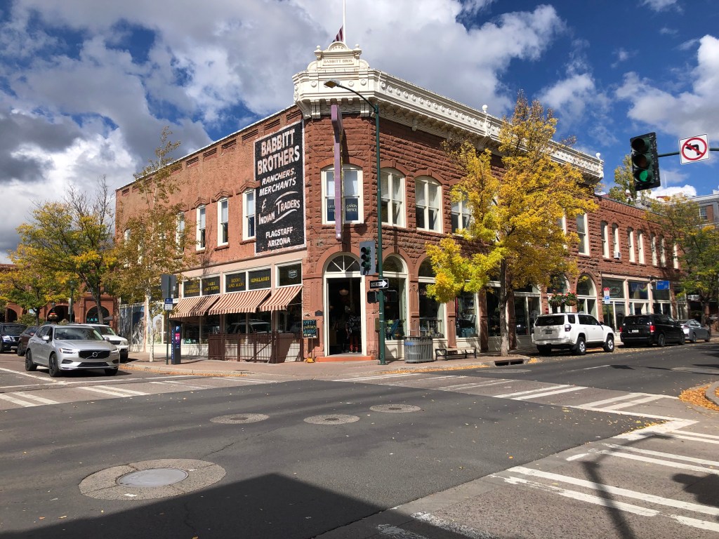
We camped amid large pines in the National Forest. Descending to Flagstaff on Hwy 89 those pines lined both sides of the hwy and we viewed the San Francisco Mountains on the right. Humphries Peak is the highest, standing at 12,643 ft with clouds covering the tip. We walked around historic downtown Flagstaff where old buildings accommodate cafes, restaurants, bars and gift shops.
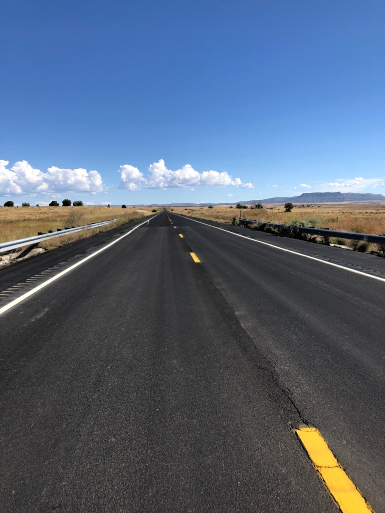
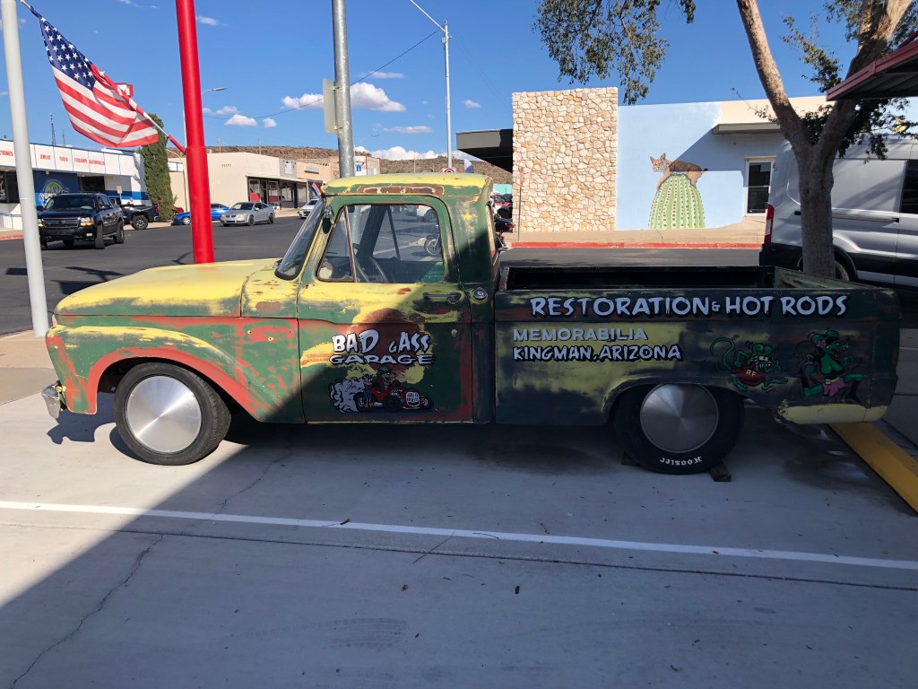
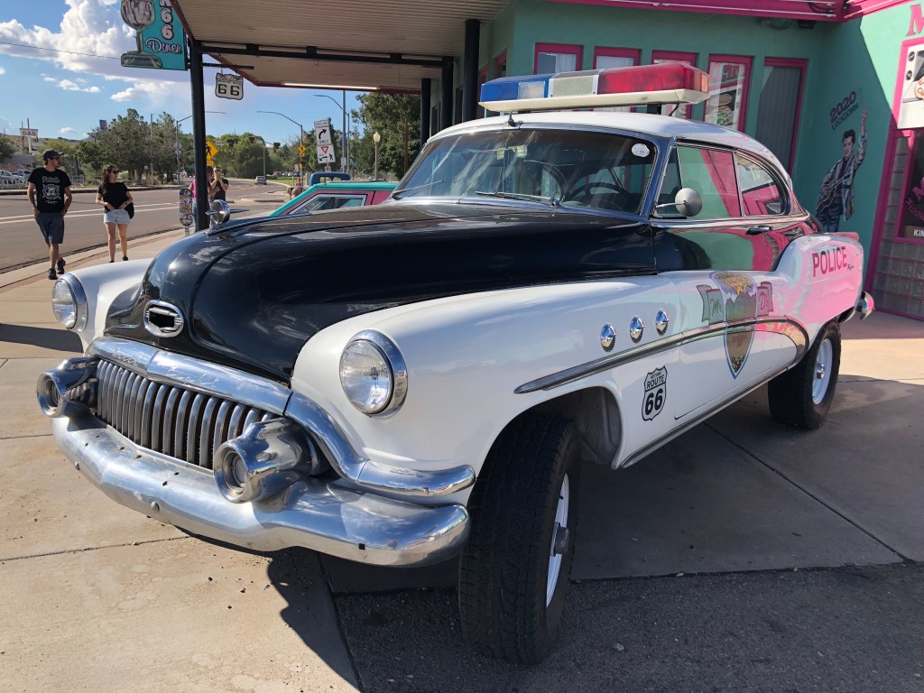
Leaving Flagstaff, we drove more of old Route 66. Route 66 originally ran from Chicago, Ill to Los Angeles, California for a total of 2448 miles. It has ceased to be a major highway since 1985, although portions are designated a National Scenic Byway. But time has forgotten the towns along Route 66 between Seligman and Kingman AZ. The movie “Cars” depicts this “forgotten time and places” theme. Hwy 40 has taken travellers and business away from these small towns. We saw abandoned motels, gas stations and homes. Rail travel is plentiful, though, with long lines of rail cars being pulled with 3 or more engines.
Crozier Ranch is located high above 2 little towns – Valentine and Hackberry, nestled between Grand Wash Cliffs (which are part of the Music Mountains) and Cottonwood Mountains. It is cared for by Arizona Fish and Game Federation that is 178+ square miles huge and people can camp there at no cost as long as they keep the gate closed, respect the land and don’t shoot within half a mile of any dwelling. It is serenely set with the hills to view all around. Cell service is pretty spotty, though. There were a few other campers there – we could hardly believe there weren’t more wanting to enjoy this pristine piece of landscape.
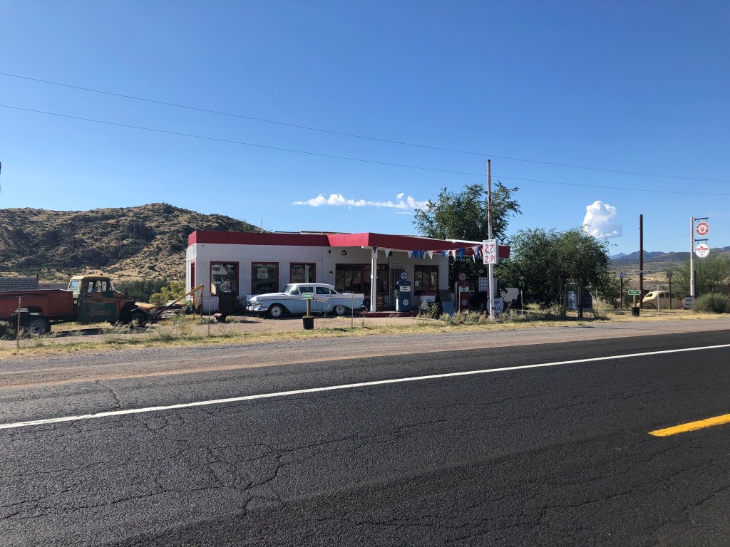
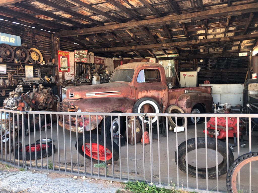
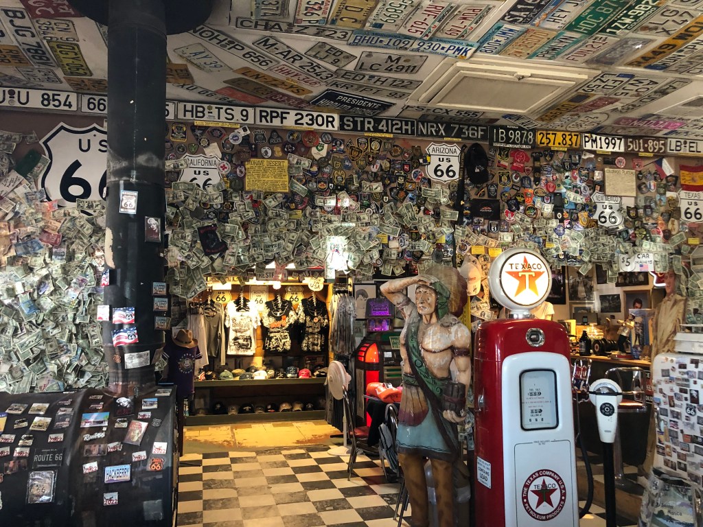
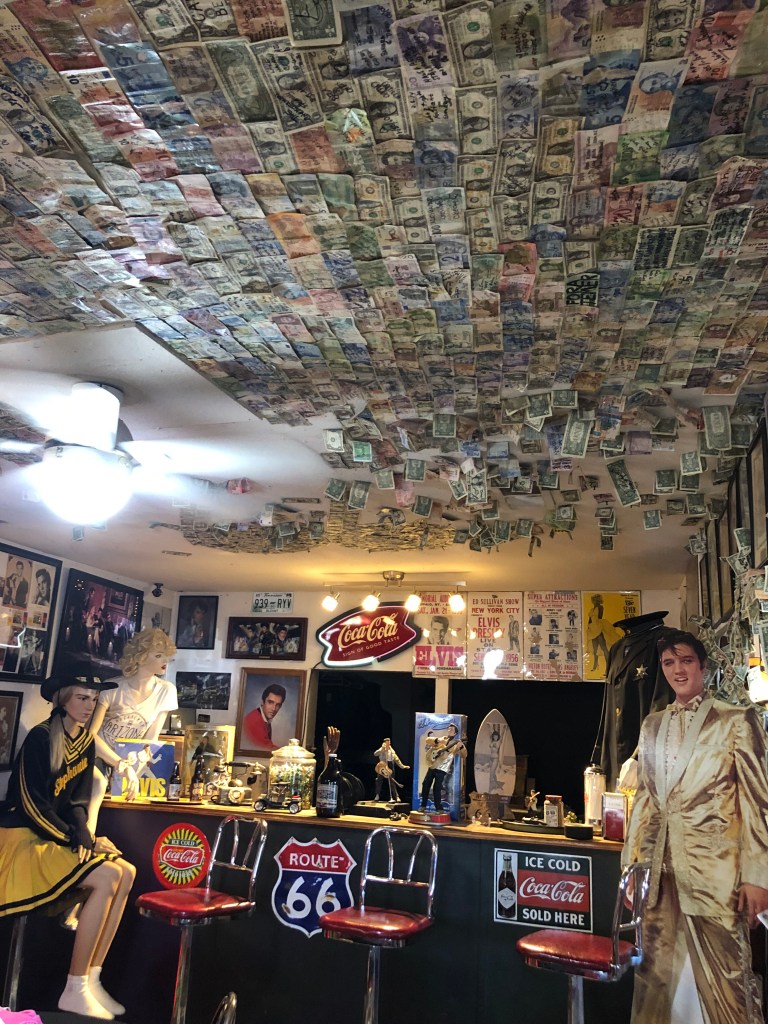
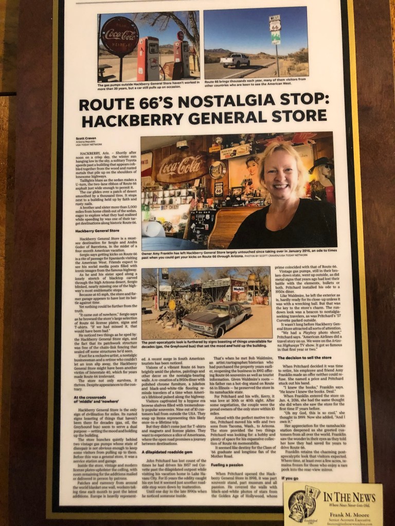
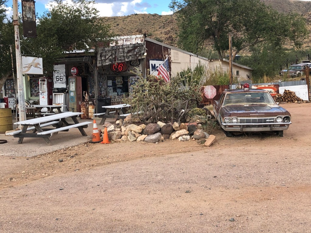
In Hackberry below is a general store that is next to none, special and quaint! The outside says it’s the 1950’s and 1960’s with rusted antique vehicles and signs aplenty complete with old gas pumps. Inside is just as antiquated – loaded with memorabilia from that era and lots of souvenirs. A few of the walls are covered with one-dollar bills bearing signatures of visitors. The owner (who could probably retire on those one-dollar bills!) bought the store in 2016, after working there for 10 years. She wants to promote the place as a destination along Route 66. And we can well imagine that it will become a well-known stop in the years to come.
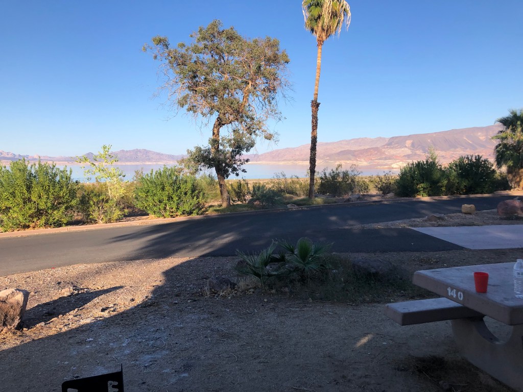
Lake Mead is a reservoir formed by the Hoover Dam on the Colorado River in Southwestern USA, in Nevada and Arizona. It provides water to California, Nevada, Arizona, and parts of Mexico. The Colorado River is fed by the snow melt from the Central Rocky Mountains in Colorado and runs through seven states. An extensive system of dams, reservoirs and aqueducts diverts most of the water for agriculture and urban use as well as provides hydro throughout the western desert. Lake Mead is just one lake created by a dam. When it was created in 1936 it flooded the community of St. Thomas requiring its inhabitants to evacuate.
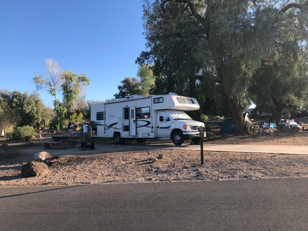
In the last 20 years or so the water level of Lake mead has decreased 143 ft to 27% of its original capacity, due to drought and decreased snow melt. This has allowed St. Thomas to be exposed and the discovery of many dead bodies and a sunken boat dating back to WWII. The lower levels of the lake have created a high-water mark or “bathtub ring” along the shoreline. The white “ring” is the result of deposited minerals. This is a National Recreation Site with campgrounds and access areas to the lake. Our campsite has a full beautiful view of the lake with the surrounding mountains. It is very hot (to Canadian standards!) at 92 degrees Fahrenheit. Summertime temps reach to 120+ degrees. The sunshine is intense, and we have very little breeze. We are thankful that the sun goes down at around 6:30 – & 7 o’clock. We hear the coyotes yipping in the night as they pass through the campground. We even had a couple of hummingbirds check us out and an owl was having a monologue last night.