Last Push to Home Nov 6 – 11

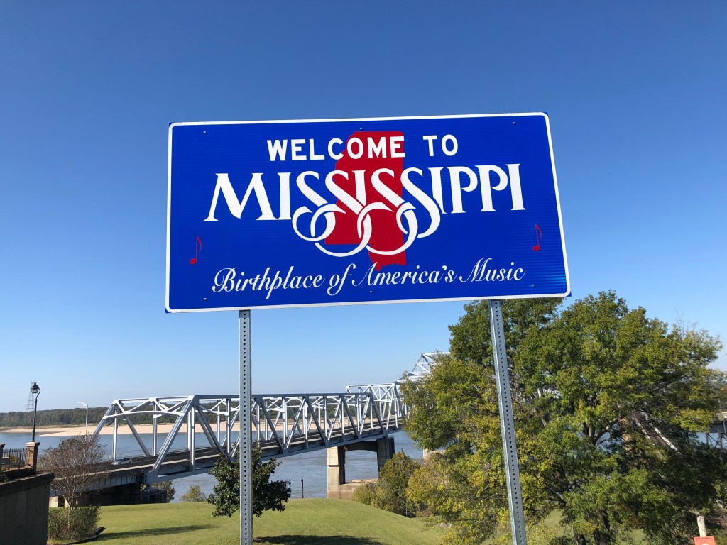
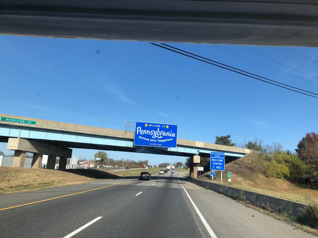
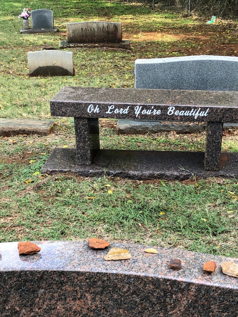
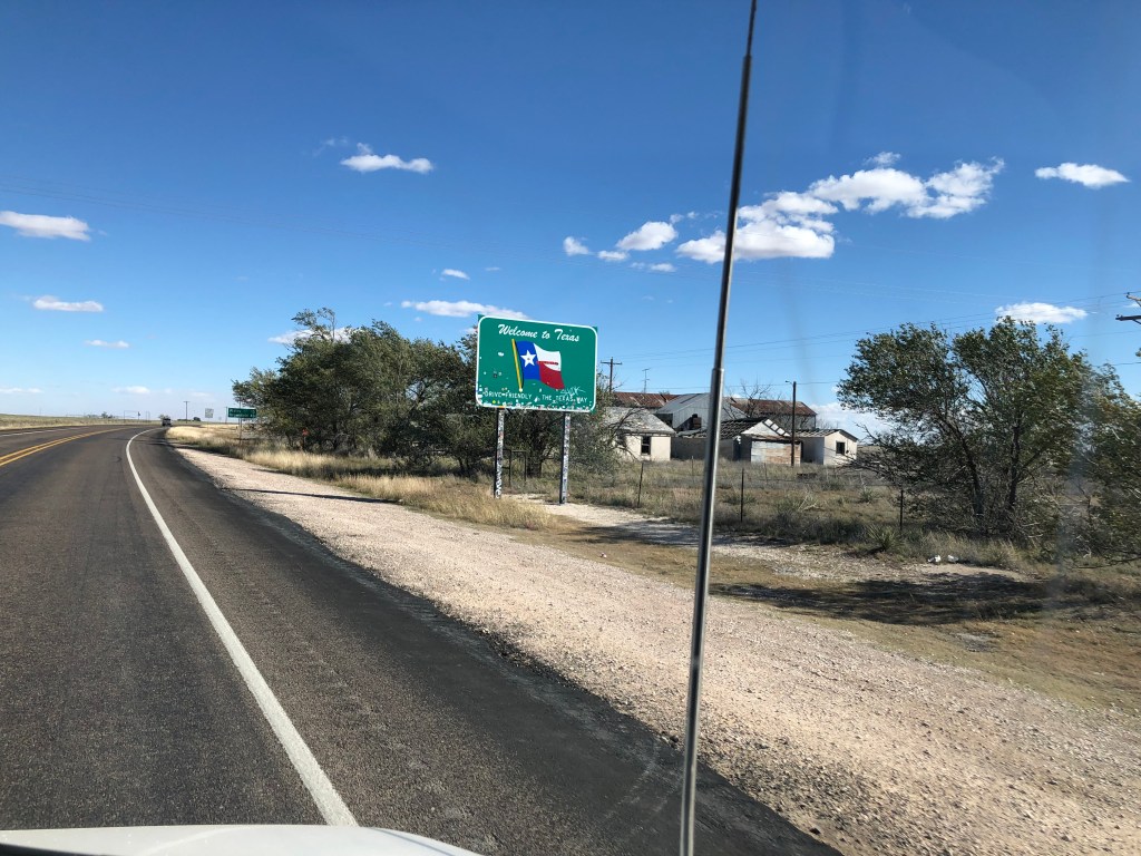
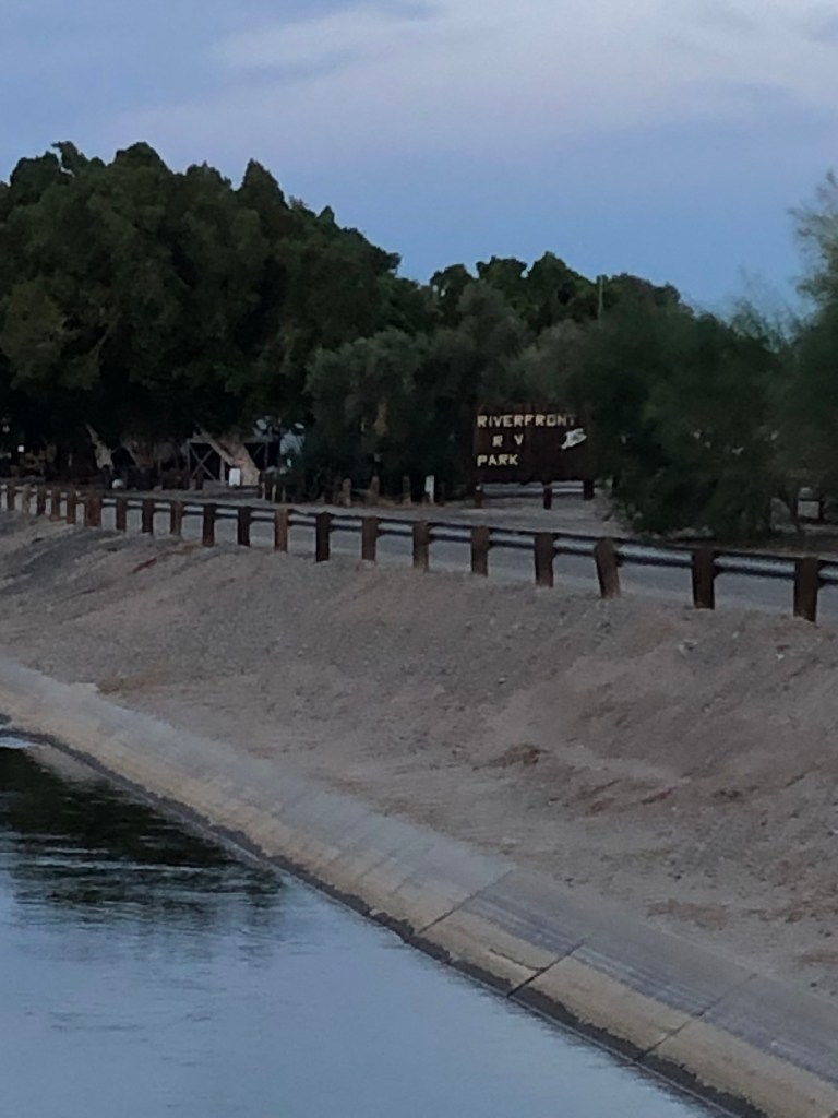
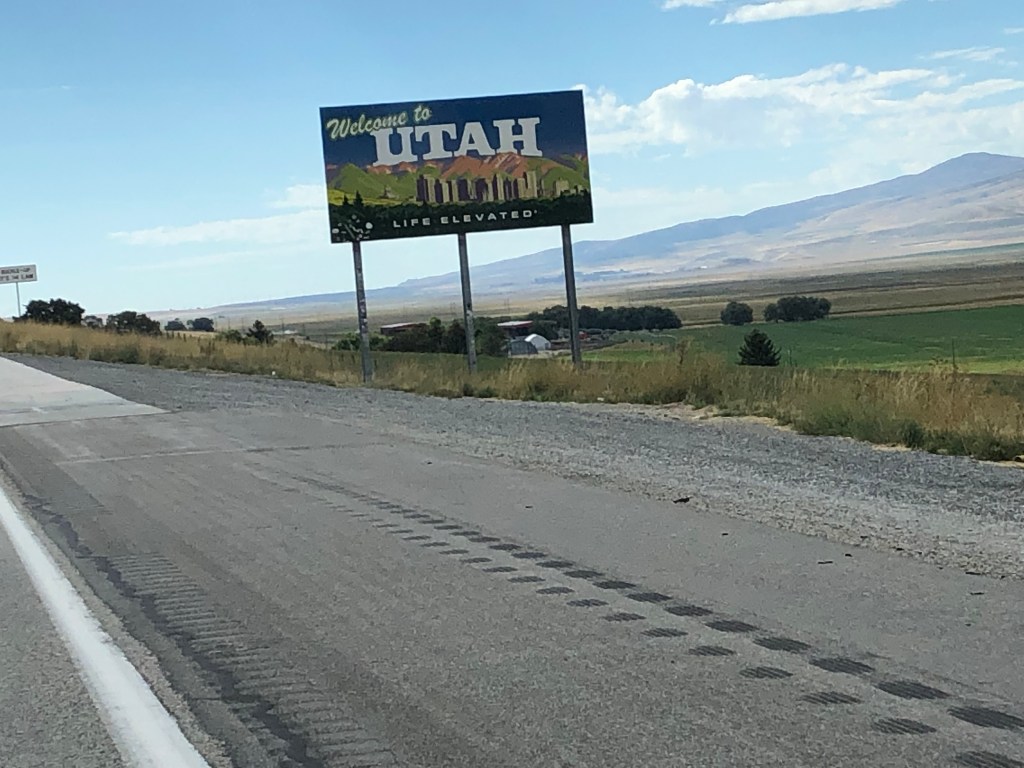
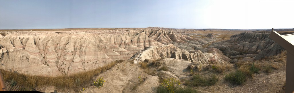
After leaving Lindale, our plan was to stay at West Monroe LA, but upon googling the safety rating of the town we found out it has the second worst crime rates in US – 84 incidents per 1000 people. Research led us to Rayville LA (20 miles down the hwy) which has .9 incidents per 1000 people.

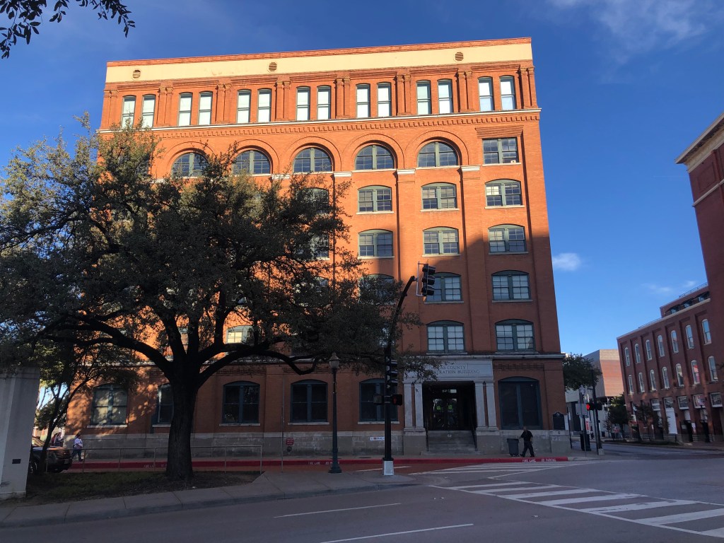
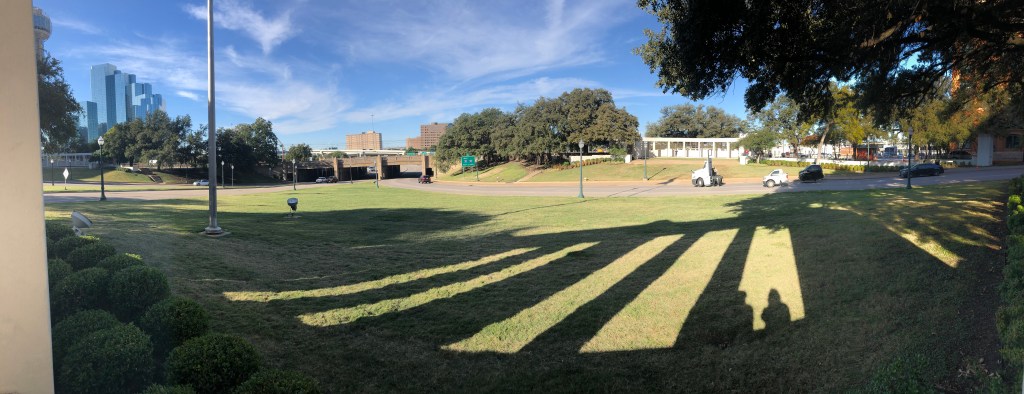
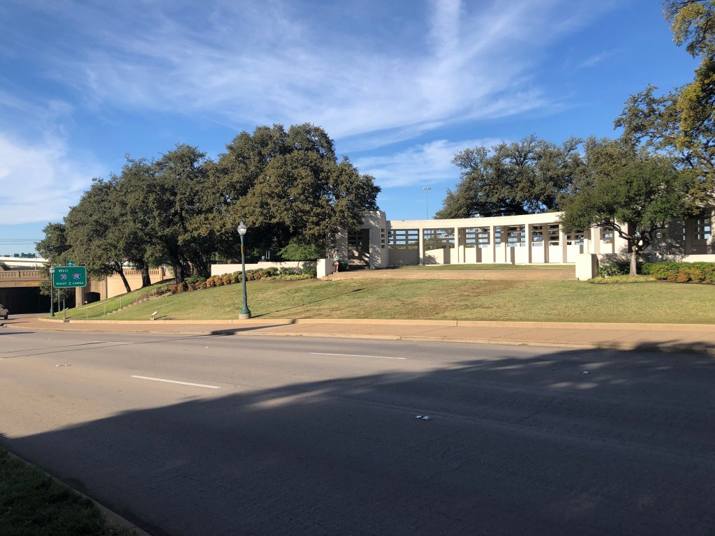
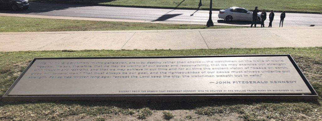
We wanted to visit the National Voting Rights Museum in Selma, but it was closed on Monday. Selma is situated on Hwy 80 in LA. In March 1965, in an effort to register Black voters was met with opposition by local authorities and White vigilante groups. The protest was a 54-mile march from Selma to Montgomery organized in part by MLK in response to the killing of a Black protestor in Feb 1965 in Marion AL. 600 people embarked from Selma on March 7, 1965, a day that became known as “Bloody Sunday” as the marchers faced brutal attacks by state troopers. The footage of the attack shocked the nation and galvanized the fight against racial injustice.

In Dallas County, where Selma is situated, African Americans made up more than half the population, but only accounted for 2% of registered voters. The march was ended, but because of social outcry a federal court order permitted the protest to resume under the protection of the National Guard. Protestors left Selma March 21, walking 12 hours a day and sleeping in fields along the way (those fields have historical markers today). They reached Montgomery 4 days later with a crowd that had grown to nearly 25,000 and were met with nearly 50,000 supporters. In August Congress passed the Voting Rights Act of 1965 that guaranteed voting rights to African Americans.

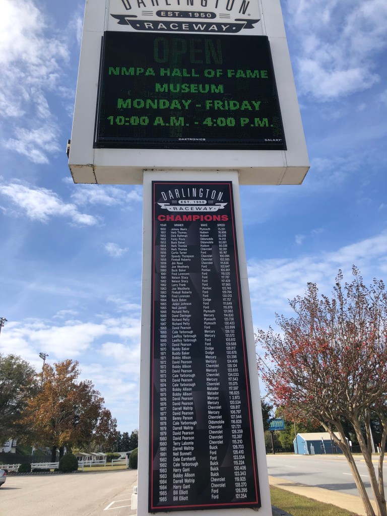
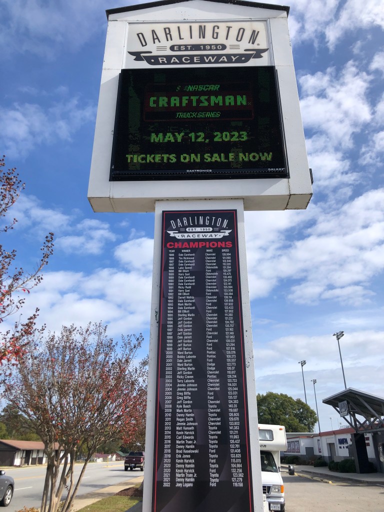
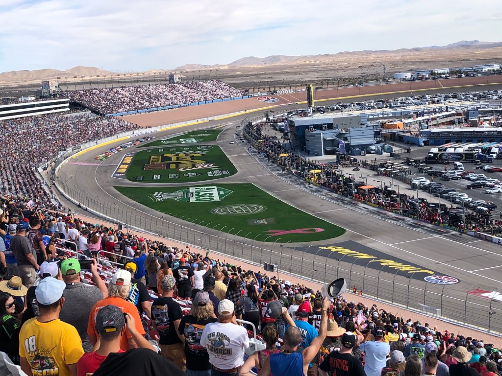
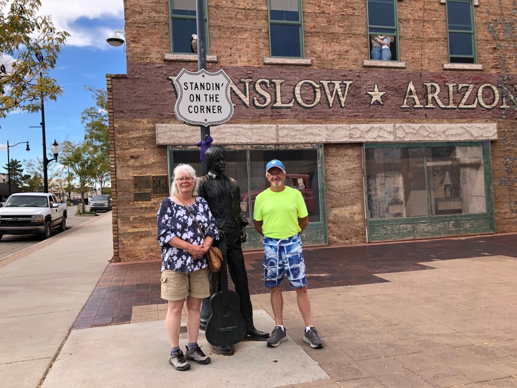
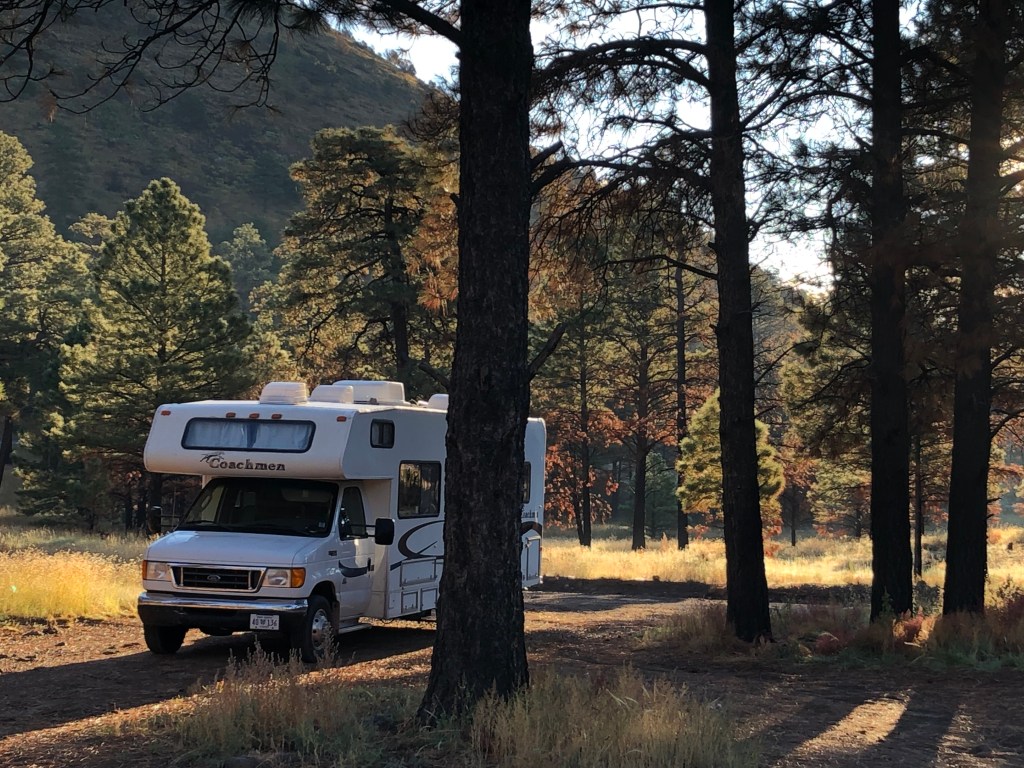
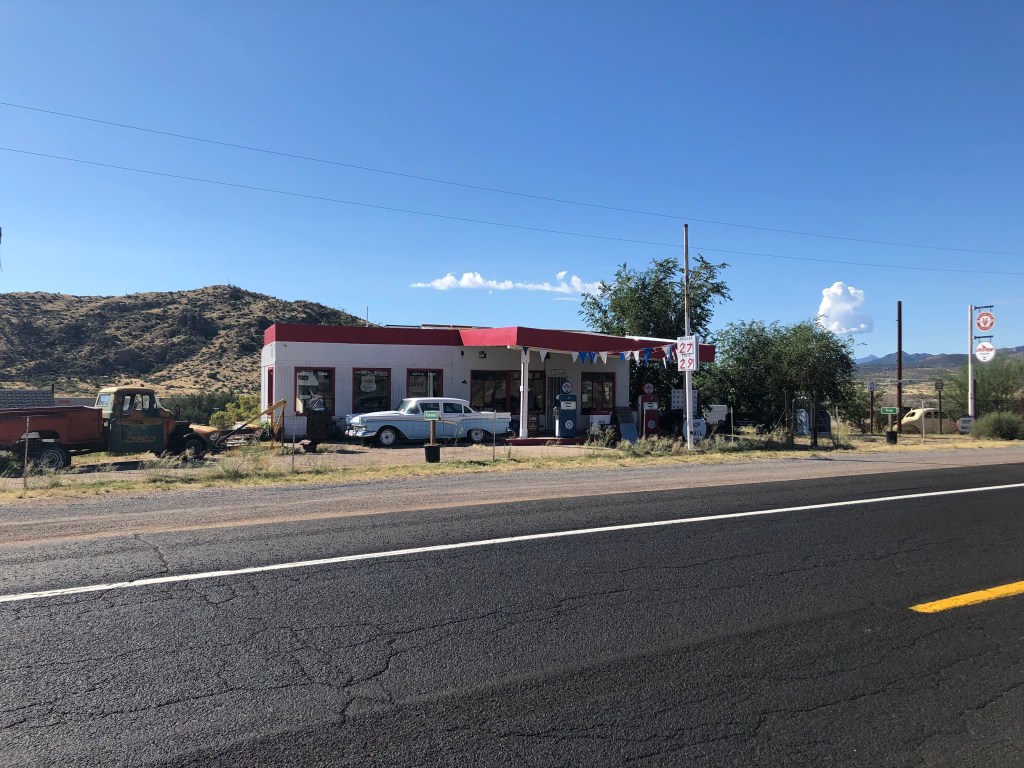
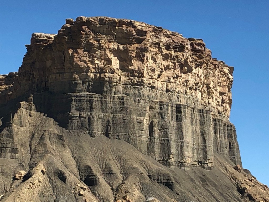
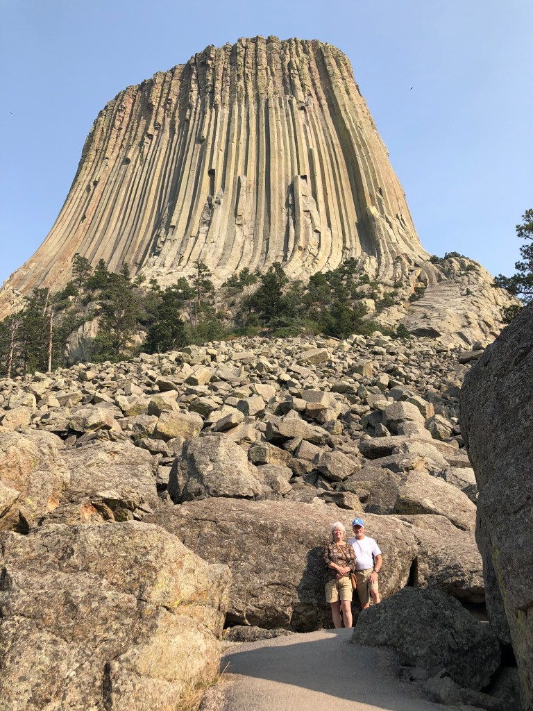
The landscape changed to lush green hills. Traffic began to get heavier. A noise in the drive train began while we were in South Carolina. Doug sprayed grease into the carrier bearing now and again, which seemed to help – the noise would go away and then return. Doug was looking in most of the 25 states we visited for a Nascar hat. The only place he found one was at the gift shop at Darlington Raceway in South Carolina – and that was a Kyle Bush hat!

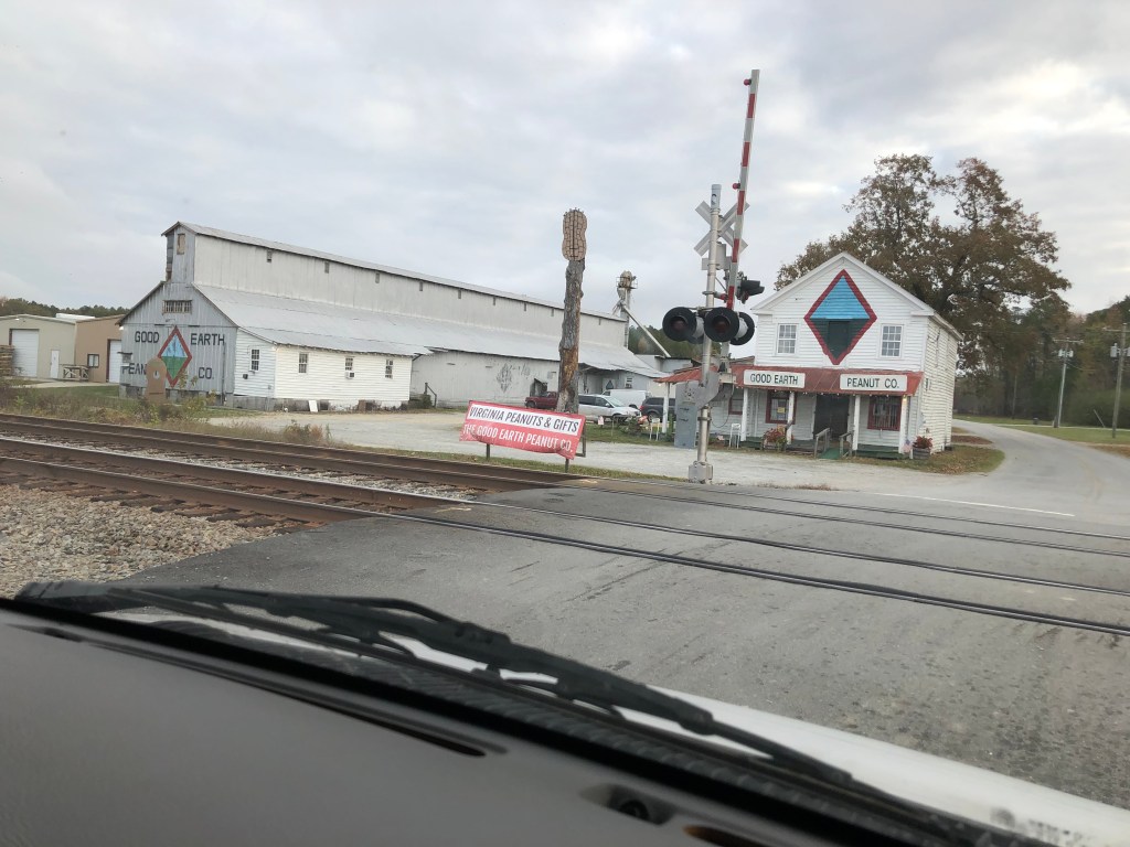
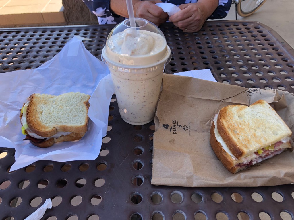
At Skippers VA is The Good Earth Peanut Company, which has the best peanuts we have ever eaten. It is always a stop if we are travelling in the area (actually I think we plan our route to include Skippers). Another must-stop is in Hamburg PA: Russell Stover store, and we plan our route for that as well.

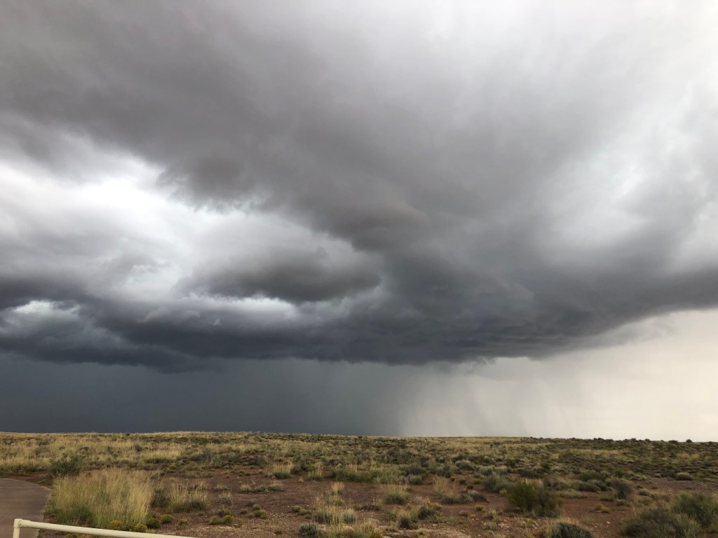
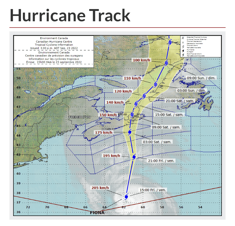
We agreed to drive to Bangor (a push that would take 20 hours)- to beat the storm that was forecast and to make our way through the worst traffic east of the Mississippi while the world was sleeping. When I think of traffic in that part of the world, one word comes to mind – insanity! The truck traffic, local traffic zigzagging in and out and across multiple lanes, neither caring about fuel costs or speed limits. I saw a sign that read “Report aggressive drivers” with a phone number – that would make for one long conversation! Not sure which state was worst, but the drive around Washington was busy and treacherous. We were the slowest rig on the road – driving 60mph while everyone else was going 80, so we were just in the way. The whole south-east drive in the RV will not likely be repeated by us.

Traffic was crazy even late at night. And then there was the road construction – more often than not from Virginia to Maine. In Connecticut it took 40 minutes to travel 4 miles! Hours upon hours of constant traffic and construction in the dark. It was a relief to see the Maine border.  After a short nap we embarked again taking turns driving, crossing the border was no problem, which is always a relief.

At one point Doug asked how many times we have travelled across the continent.  I told him, jokingly, “Don’t make me mad”. So, I was driving, on an hour and half of sleep, a bowl of cereal for breakfast and a bag of chips and bottle of iced tea for lunch, almost to Salisbury NB, when Doug said to me, “Know what would make a good trip?” … not even home yet!

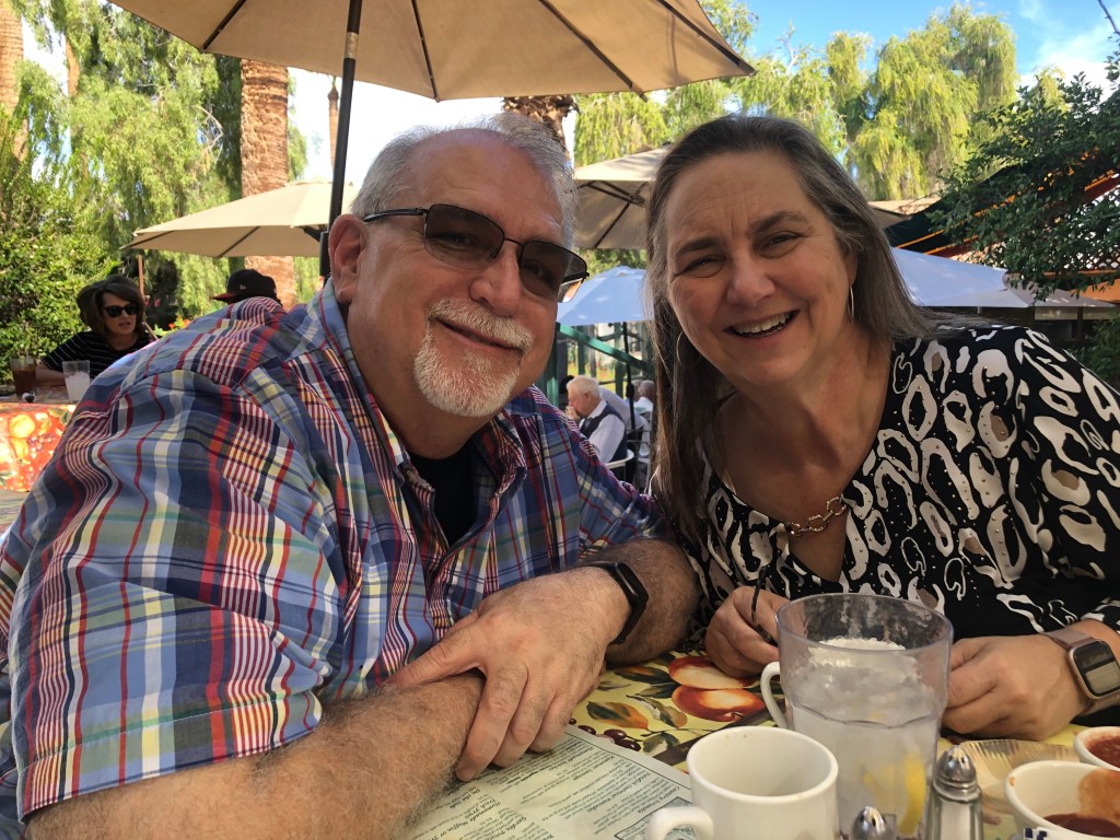
Actually, the main reason we came home two weeks early was that we missed family – particularly our grand-daughter Violet. We did facetime with them almost weekly as we didn’t want her to forget us. Ally sent us videos of Vi going to our house and asking, “where are Gigi and Papa?” Ally told her a few days earlier that we would be home soon and Vi was teary-eyed asking for us. That just melted our hearts. It great to have people who love us to come home to! Another reason was the weather – we enjoyed mostly perfect sunny days for the whole trip, but the second half of November was forecast to be very cool all over the east. Might as well be home!

Things I Learned while travelling across North America

  1. Too many mamas let their children grow up to be cowboys. They all own loud vehicles and like to hang out at the local Walmart all hours of the night. And I can imagine that their actions would require them to need doctors and lawyers and such.
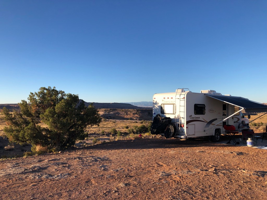
  2. My food cooks on the stove the same whether the RV is level or on a 20-degree grade.
  3. Same goes for sleeping.
  4. I don’t need to pack so many clothes – less than half saw daylight!
  5. I can get just as clean in a 2 x 2 shower stall as I can at home in my huge shower, with about half the water!
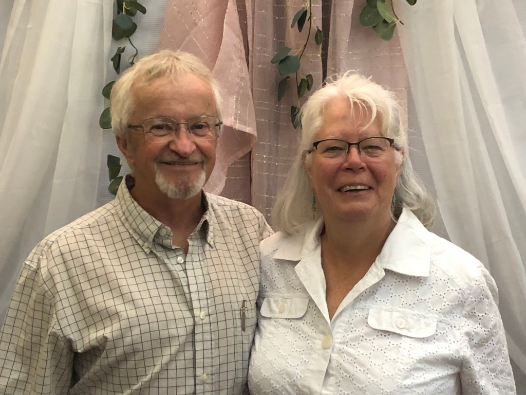
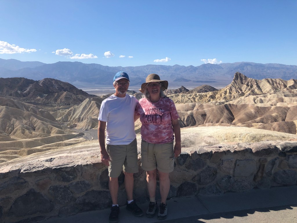
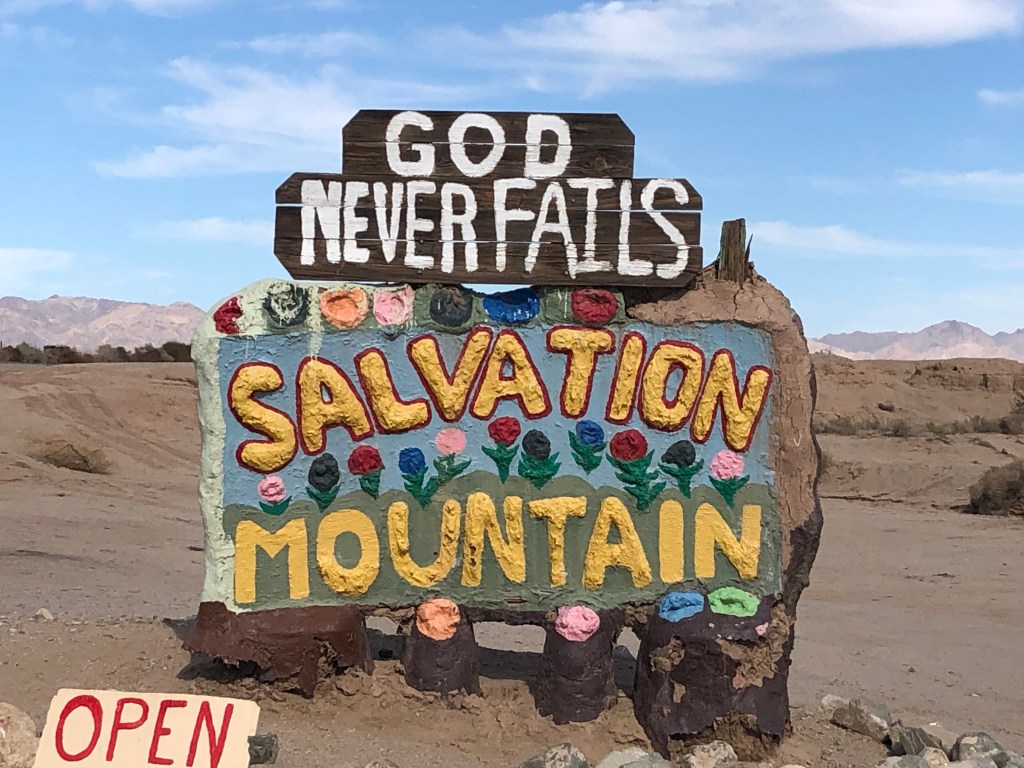
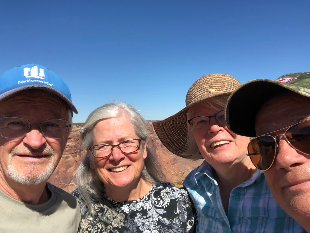
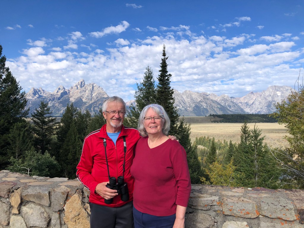
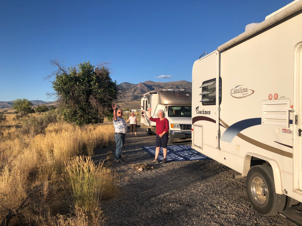
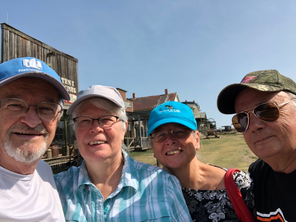
  6. People are interesting and it’s always a blessing to meet them all.

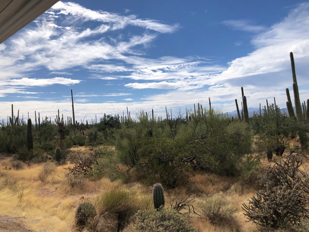
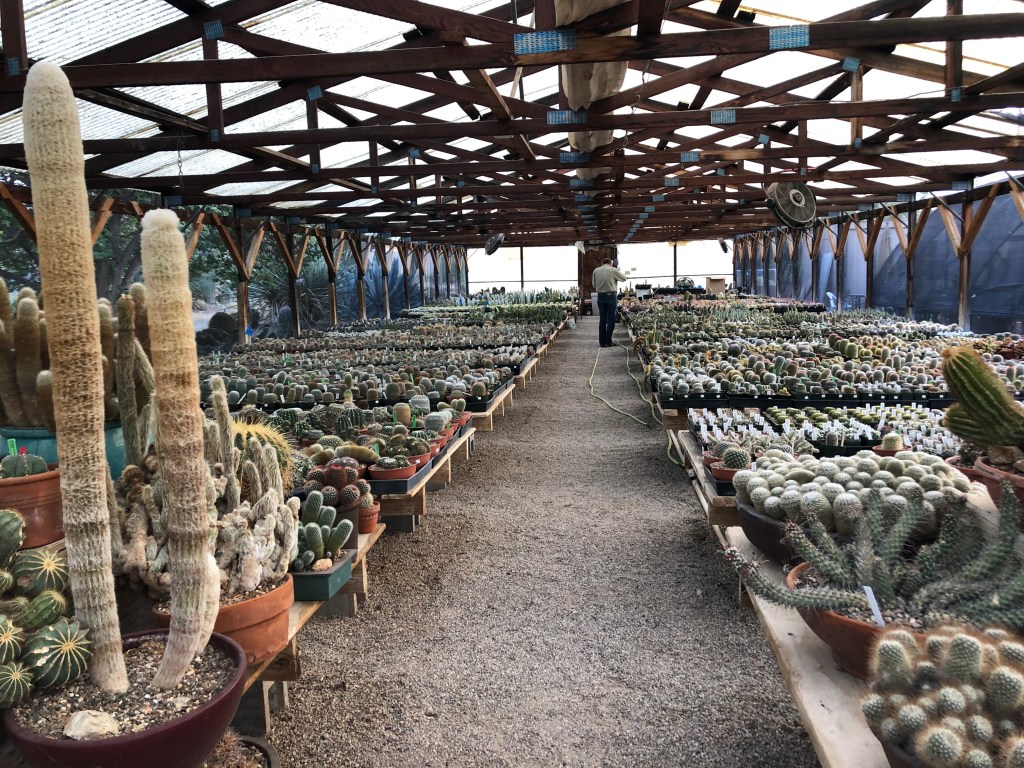
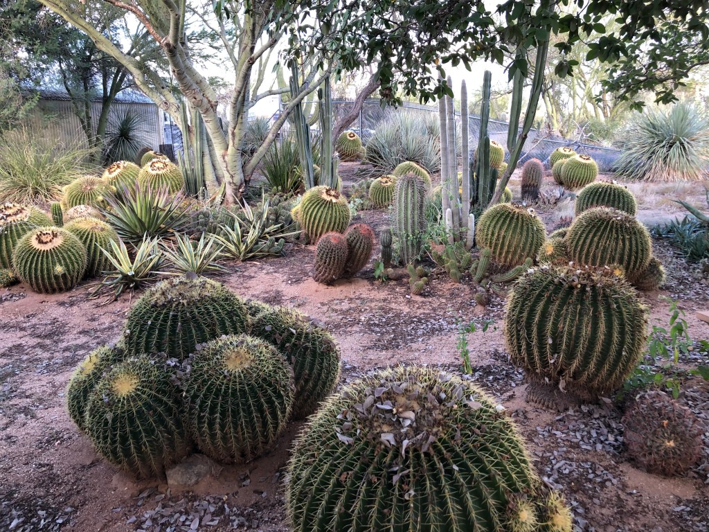
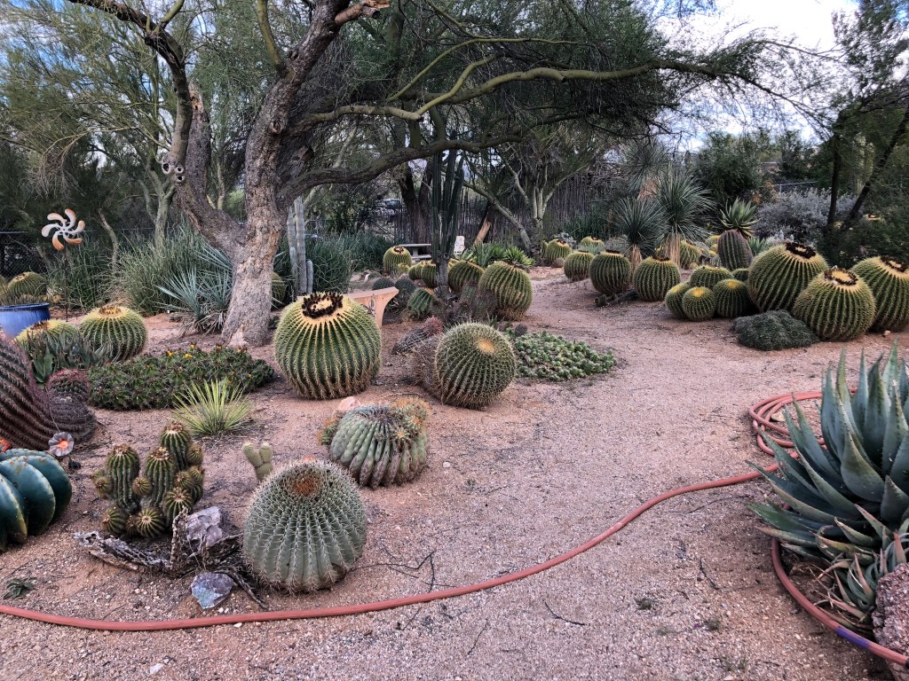
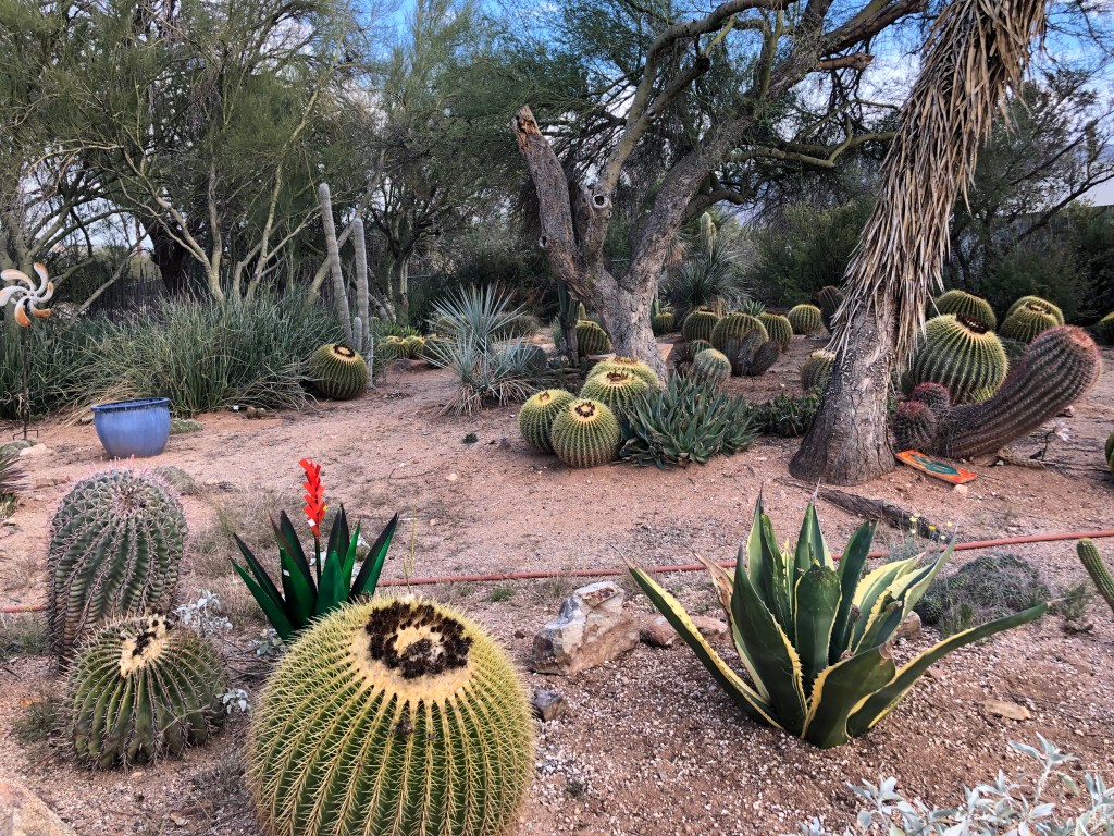
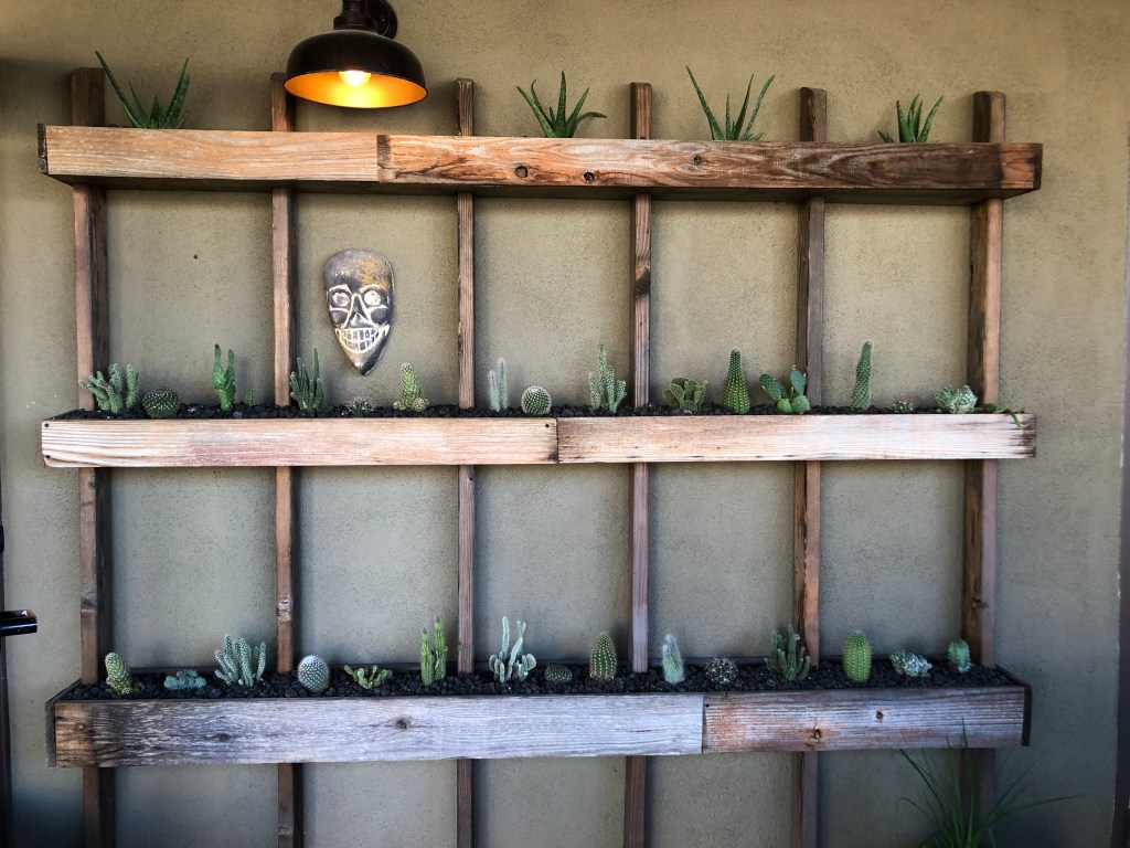
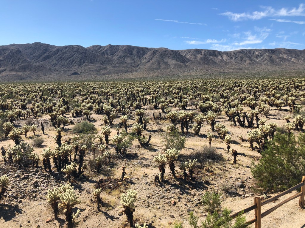
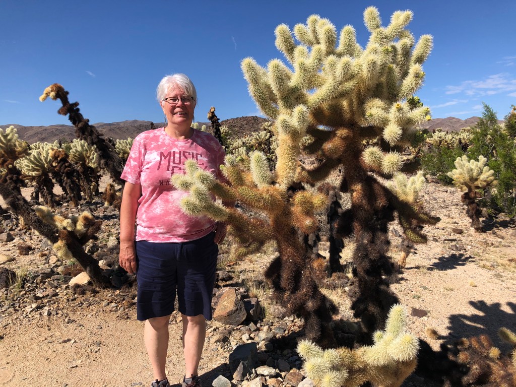
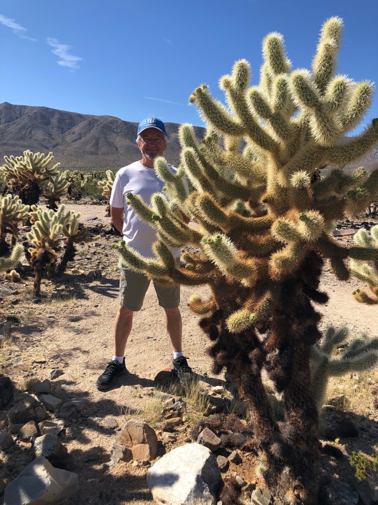
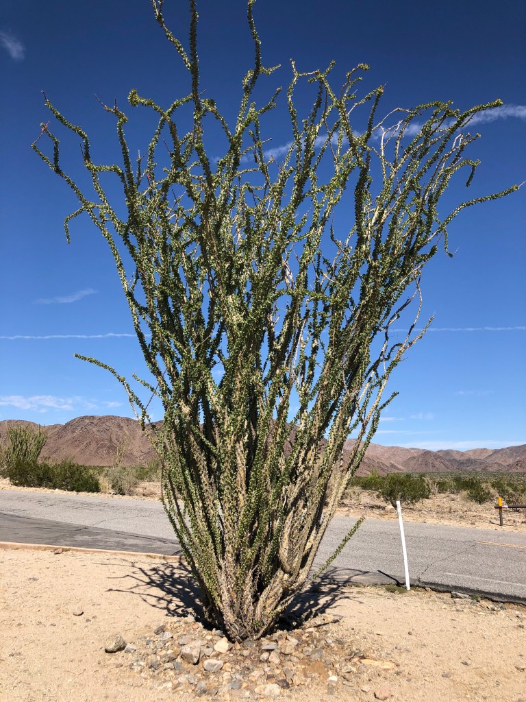
It was our daily prayer that God would grant us safety in all things, whether in regard to the people we encountered, the places we stayed, and mechanical soundness of the RV. We travelled more than 11,000 miles and returned home unscathed with treasured memories to last and share, plus some new cactus plants! All the glory and thanks belong to the Lord.

Bridges across the Mighty Mississip
and the states rolled by – we drove through 25 on this trip
Rural Georgia landscape – cottonfields and churches
Darlington South Carolina, NASCAR winners 1950-1985
Darlington South Carolina, NASCAR winners 1986-2022
Great shop in Skippers Va.
Violet was wanting us at home!

JFK and Keith Green – Texas Nov.6

Today I got to do two more bucket list things. We arrived at the Dallas Dart Rail station early on Sunday morning, with the intention to park the RV for the day and take the train for the 30-minute ride to downtown. A policeman warned us against leaving the RV parked there all day due to transients riding the rails making it unsafe. So that was a downer and I figured we would just forget it and get back on the interstate.

After we talked about it, we decided to just drive downtown and see what it was like. It was early and Sunday traffic was moderate. So we got on the I-35 and drove right to Dealey Plaza and got off at the exit behind the famous Texas School Book Depository. Perfect! Glenda asked a guy about parking (I wouldn’t have asked. Lol), and he showed us where and proceeded to give us a tour about the assassination area. An old guy, very knowledgeable about the Kennedy assassination and friendly.

We wandered around for an hour and took it all in. Lots of people there – many of our generation as it was one of the most defining events of the 1960’s. The place seems smaller than it does through pictures or video and most of the people we met agreed. We also agreed that it was a conspiracy and obvious setup. We met a guy who said Robert Grodin was giving a talk that day – wished I could have stayed for that. He has written several books including “The Killing of a President”, which is a thorough photographic record of all aspects of the assassination etc. The guy also said Josiah Thompson, who wrote “Six Seconds in Dallas” is scheduled to speak at the museum on Nov.22. I’d love to hear him. These guys have spent their lives researching it all and they are reasonable journalists. I left feeling quite satisfied how the Lord arranged our morning and pondered flying back some November 22 to hear an expert and take in a Cowboys game. That would be a trip!

Then we drove east on the I-20 to Garden Valley Baptist Church and Cemetery near Lindale Texas. This is where well-known and loved Christian musician Keith Green with his wife Melody and family and the Last Days Ministry team called home. Keith died in a plane crash nearby in 1982 at age 28 with his 4-year-old son and 2-year-old daughter. They are all buried together here in the one coffin. So very tragic, but we believe God wanted them home with Himself. Keith was “bananas for Jesus” and his great songs meant a lot to us young believers at Faith Baptist in the early 1980’s – and believers everywhere. We also saw the grave of Revivalist Leonard Ravenhill, who was a mentor to Keith and a powerful spokesman for the Lord in those days. Glenda and I prayed for Keith’s family and thanked the Lord for his life. What a blessing!

Driving into Dallas
Texas School Book Depository
The Corner of Houston and Elm, where the presidential motorcade made its fateful turn. An obvious setup.
X marks the spot of the first hit on JFK
Building across from School Book bldg where bullet casings were found on the rooftop and where they were taking Oswald when Ruby shot him.
Courthouse on Houston where Jack Ruby trial was held.
Panorama of Dealey Plaza
Still much the same 59 years later.
X marks the fatal head shot.
It is believed a second shooter was behind this picket fence.
Excerpt from the speech JFK was to give later that day
People ran to area behind the fence after they heard shots coming from here. That was their eye-witness testimony
Gravesite of Revivalist and Bible Teacher Leonard Ravenhill
There is just something sacred about this place. The small memorial stones were placed by his family on his birthday in October.
“Oh Lord, You’re Beautiful” – one of Keith’s best worship songs.
Garden Valley Baptist Church, founded in 1872
“Rushing wind blow through this temple, blowing out the dust within. Come and breathe your breath upon me, for I’ve been born again.” (KG)

Arizona to Texas   Oct 31 – Nov 5 

Although it was sad to leave Yuma it felt good to be heading east – to home. We took a picture of Muggins Mtn on our way, which literally lay straight before us in the unbending highway. We encountered Saguaro cacti, which are beautiful against the mountains, and barrel cacti. Our plan was to get some to take home but trying to find anything small enough to dig up was nigh to impossible. Saguaro National Park was a stop along the way. Forests of Saguaro looked animated, almost dancelike among Cholla and Barrel cacti. One mustn’t take anything from National Parks, but once outside we found a little bit of a gold mine in terms of getting something to take home. Donning leather gloves with sharp knife in hand we walked a short distance from the road. We didn’t think about what we were walking on, (and my “spidey senses” were on high alert looking for slithering reptiles) but there were dead cacti all over the place. We got our treasures and upon returning to the RV we discovered cacti pricklies on our shoes. It was a job to remove them all and Doug even had one work its way through the sole of his shoe the next day. And although the leather gloves helped, I was still pulling pricklies out of my hands with tweezers for days.  Just call it “the revenge of the cacti” – touchy! And we found a cactus farm near Tucson that had every sort of cactus for sale. So, we got some more! Now Doug has to build a new room at home! I think he will need something to do anyways.

As previous posts have mentioned that there is a plethora of free or cheap camping places in the west, and county parks are the best. Some have free electricity and water, but all are well maintained, and campsites are spacious. We frequented a couple this week as well as the Hilton Walmart. One night we stayed at a BLM on a lonely dirt road in the middle of nowhere. We were all alone. It can be a little unnerving, especially if the cell service in those areas is spotty or nonexistent (and usually that is the way it is). I don’t usually let my mind wander, and besides, I am in Good Hands! We stayed at Las Cruces NM visitor centre, which is on the mountain outside Las Cruces. The iconic huge roadrunner that Olin Calk built in 1993 still stands looking over the city. It is an enchanting piece of art that is 20 ft tall and 40 ft long. We first saw it the last time through. It is made from junk found at the landfill. It has been refurbished twice – in 2001 and again in 2014. Doug even found some Yucca seed pods to take home. We felt really safe there because a private security company has two cars with guards parked there at all times.

Along Hwy 70 to Alamogordo from Las Cruces is the White Sands National Monument. In the heart of the Tularosa Basin the world’s largest gypsum minefield spreads over 275 sq mi. The dunes are huge, and sleds can be borrowed from the visitor’s centre to slide on them. Just below the earth’s surface is water that keeps the gypsum moist enough, so it doesn’t blow away – although it does drift on the roadway. White Sands Missile Range is next door where regular missile testing can close the park for up to 3 hours on testing days, and at times will close Hwy 70. 60 miles up the highway is Trinity Site where the world’s first atomic bomb was detonated in 1945.

We travelled through Lincoln County where Billy the Kid frequented. He is the most remembered gun fighter of the Lincoln County War of 1876-1881. The conflict began when John Tunstall and Alexander McSween, backed by cattleman John Chisum, built a general store that gave competition to the existing rip-off store owned by James Dolan. Both sides had their cronies and Tunstall was murdered by Dolan supporters. Lincoln’s sheriff, Brady, was murdered in retaliation by The Regulators, a group friendly to Tunstall and McSween. Revenge killings continued for months and ended after the 5-day battle of Lincoln, where many Regulators including Billy the Kid were scattered. Pat Garrett was named sheriff in 1880 who hunted and killed the Kid in 1881. Lots of movies have been made telling the story. A couple of years ago we watched “Chisum” starring John Wayne.

The landscape changed from desert to almost prairie like fields amidst large rolling hills. Every little (and bigger) town has a Dollar General store, and we were very surprised with the large amount of garbage along the sides of the road.

The day is July 8, 1947. The local newspaper headline reads “RAAF Captures Flying Saucer on Ranch in Roswell Region”. The army quickly retracted the statement and said instead that the crashed object was a weather balloon. In 1994 the USAF published a report identifying the object as a nuclear test surveillance balloon. But not everyone is buying that. Conspiracy theorists abound and Roswell is reaping the benefits. The UFO Museum has numerous eyewitness accounts and affidavits of a flying saucer and unhuman bodies and even one survivor (where did that go?). And stories abound of US officials handing out death threats if people told what they saw. The museum also has written accounts of some people who said they were “snatched” and returned in the years since. I remain unconvinced, even though I have met some pretty strange folks during my lifetime!

The Llano Estacado (in English it means Staked Plains, referring to its steep escarpments) is one of the largest mesas or tablelands in North America. It encompasses parts of eastern New Mexico and NW Texas with elevation between 3,000 and 5,000 ft. Oil and gas production are prevalent as is cattle ranching and agricultural crops that include cotton, sorghum, corn, and wheat. It is a wide open vast empty and lonely place. A 225-megawatt solar facility that is 1600 acres huge containing more than 800,000 solar panels and 204 Greenpower inverters is located in Gail, West Texas along Hwy 180, which is prairie land as well. In addition, wind power is being utilized in the area. So, I guess Texas isn’t all about oil!

Next stop…Dealey Plaza, Dallas.

Muggins Mountain Wilderness east of Yuma
The West is very dusty!
Barrel Cactus are so Huggable
Iconic Arizona Sunrise
Saguaro Cactus have so much individual character
Saguaro National Park
Tucson Cactus Nursery
A Cactus Garden
Some are the size of 40-gallon barrels
Perhaps when Violet is 50 our barrel cactus will be this big
This girl will camp anywhere!
Pictures cannot capture the stark beauty of the desert
But some pictures come close
Las Cruces Road Runner
White Sands National Park
Lincoln National Forest in New Mexico
Glenda with 2 of her brothers!
Even Nova Scotia made it into the Roswell UFO Museum
Dust storm on the Llano Estacado
Texas has more wind and solar farms than any state we saw, plus the oil

YUMA Arizona – Oct 21-31

It was almost like coming home to drive into Yuma. Of course, it isn’t even close to being home, but we feel at home in Yuma. As we were choosing our site at the RV park we met Richard, who would be our next-door neighbor for the next 10 days. In his eighties and living at the RV park full time, he is originally from Iowa. For 60 years he lived in the freezing temps of Iowa and said that was enough. He lost his wife a few years back. His cats are his main companions now – 7 adults, one of which delivered 4 kittens the week before we arrived. The day after we arrived Larella came by to introduce herself. A full time RVer for 24 yrs, she lost her husband about 4 yrs ago. She divides her time between Utah in the summer and Yuma in the winter. These are precious folks that we were blessed to get to know a little, listening to their interesting and funny stories.

On our first Sunday there we reconnected with the church family at Grace Bible Fellowship. Tom and Carolyn Sawyer are pastor and wife of this “church in the community for the community” (their motto). It was a heartwarming reunion with them. The church building is in a high-risk community of homeless and emotionally broken folks. Tom and Carolyn live in a neighborhood where gang activity is present. There were a couple of teenage girls at Tuesday night Bible study whose father had been shot and we found out after we left Yuma that he had died. The church family is a small group, but their outreach is deep and wide, ministering to the Native and Hispanic communities around them. Almost every meeting that takes place at the church building involves serving a meal. I love watching Tom and Carolyn love their people. Tom is a bi-vocational pastor – working full time as well as pastoring at Grace. It was so wonderful to share life together for a short time – even got to attend a high school football game (Yuma Criminals) and watched an animated Carolyn cheer on the home team! The team is called The Criminals because back in the early 1900’s the high school burned, and the unused Yuma Territorial Prison became the high school for a few years until a new school was built. The team is lead onto the field by a police car with sirens blaring before the games begin.

Yuma is a pretty flat city with great bike routes. Our RV Park is beside one that we travelled to church as well as historic downtown where we shopped and enjoyed good food and great coffee. There is also a used bookstore there that is so laden with books a person could disappear for days. We limited our time to about an hour and half.

My morning ritual was delightful – get up, pour my coffee (laced with Southern Comfort egg nog – and no, it doesn’t have liquor in it) and sit outside for my devotional time. The sun would poke up over the trees after a while and I would just turn my chair around to get my face out of the sun. The sun is very intense, and the daytime could get very hot. Doesn’t get much better than that.

A lot of people go just south of the border to Los Algodones Mexico to shop and for medical and dental services. I was always dubious about doing that, but the US government recognizes Los Algodones as a safe place and worth a visit. We have not taken the trip, but if we ever return, we may investigate.

Some interesting things about Yuma:

  1. It is the sunniest place on earth according to Guinness World Records with promises of sunshine at least 91% of the year.
  2. It is the winter vegetable lettuce capital of the world.
  3. In 1949 two men flew a N1156H airplane around Yuma for more than 46 days straight. To be refueled they would fly low while people in a 1948 Buick Super convertible passed fuel (and food) as they drove beneath.
  4. The Christmas parade in Yuma is second to none. It boasts an audience of about 40,000 people who enjoy the show for 2 – 3 hours! Marching bands, antique cars that bounce on their hydraulic shocks and floats of every sort, all with strings of lights wrapped around (it is called the Dorothy Young Memorial Electric Light Parade), and so many other participants. I’m sorry we won’t be there!

The beauty of Yuma can capture a heart, but I get more attached to people. I am totally blessed to meet new friends. And I believe that the word “goodbye” can be the loneliest word in the English language.

Doug – I love Yuma and am so glad to be able to visit again! The RV Park is nice and inexpensive, the city park next door is also nice though they are renovating it some, the biking downtown is great – something we looked forward to every day – we love the downtown with great café’s and things to see. We have made good friends with Tom and Carolyn and feel at home in their church. I told Tom that it’s the kind of church Jesus would go to – not polished or modern but Bible centered, godly and caring for the lowly, which are most important.

The weather in later Autumn here is the best – low 80’s (high 20’s), sunny every day, nice breezes, bluest skies, and dry air which is good for my joints. The sound of fighter jets on maneuvers is a daily thing – which I love. I got to preach at the church which was surprising but great to share Ezekiel 47 and some of our journey through life, deep waters and all. It was nice to get to know Richard and Larella and have them over for supper. Glenda is such a welcoming host to people everywhere! Enjoyed a Friday night High School football game – Criminals won 52-0. The Sawyers took us out twice for great meals.

Also enjoyed good times of devotions and personal reflection in the park. On Monday we talked about this being our last trip to Yuma and the south-west and by Friday we were talking about when we will come back. That is the effect Yuma has on us. As we left on Hallowe’en morning, we drove east on I-8 past Telegraph Pass and looked at the distant ears of spooky Muggins Mountain, where we camped in 2018. Goodbye to one of our favourite places!

Grace Bible Church Photo
A Yuma Criminal
Lutes Casino Health Food
Yuma Bibe Path
Riverfront City Park
Cafecito in Downtown Yuma

We biked every day
Our First Date Shake
A Beast of a Steam Engine
Our Yuma friends Carolyn and Tom Sawyer
Yup it was a wipeout!
Our RV Park
Yuma Sunrise
Grace Bible Fellowship
Pastor Tom and Carolyn
Cafecito Cactus
Goodbye Yuma!
Telegraph Pass and Muggins Mountain

Las Vegas NV to Yuma AZ Oct 16 – 21

Well, my body is not in Winslow, but the earworm keeps my brain there. Been singing about that corner for what seems years! However…

Leaving Lake Mead didn’t relieve us of the heat. The skylines of Boulder City and Henderson along Hwy 215 are vast. On both sides of the hwy are huge solar gardens and mountain ranges in the distance. The landscape is open to the hot sun. As we headed to our campground in Las Vegas we saw little “neighborhoods” of homeless shelters along the roadside. I wonder if the occupants have dreams and hopes or are they just trying to get through another day? We are so thankful for God’s provision – to us as well as to those folks.

The Hitchin’ Post campground is located on North Las Vegas Blvd – 5 miles down the road from Las Vegas Speedway! Upon checking out the nearest bus stop for Doug to catch the bus, behold, a park nearby that was hosting a girls fastpitch tournament for the weekend! What a treat for me as Doug was treated to a NASCAR race.

Doug – On Sunday AM I caught a bus to within a couple of miles of the Speedway and then proceeded to walk there. As I was walking, I noticed that I was the only guy walking to the track. Along the way I say an old scruffy guy up ahead, with his garbage bags and dirty clothes looking for some shade in the hot morning sun. I gave him $5.00 for some breakfast. After walking further, I realized there was no place he was going to buy anything to eat so I turned back to give him my lunch, but he was out of sight. I got to the track with time to spare and proceeded to my seat. A good crowd on hand but enough empty seats that I could sit wherever I wanted. It was a good race but a little boring by myself. It became really hot and the walk back was hard. Along the way I saw the old guy and I turned to speak with him. There he was sitting on the curb counting his wad of cash! He looked hungry so I gave him my trail mix and thought yes, he was doing pretty good out there getting people to help him. Who knows, maybe he was an angel?

We headed south to Death Valley along Hwy 95 – a desolate valley hwy between the Spotted Range and Spring Mtns. At the intersection of Hwys 95 & 373 is a little spot named Amargosa Valley at the bottom of the Yucca Mtns. Just over those mtns and amongst various mountain ranges is the Nevada Test and Training Range – a Nevada National Security Site, also known as “Area 51”. That was a neat surprise. There is a gift shop with all things “Area 51” complete with a brothel! Death Valley Junction wasn’t far from there – a deserted town with run down houses and businesses. Then we descended 3000 ft into Death Valley. The place boasts the world’s hottest temperature ever recorded at 134 degrees F (56.7 C) in 1913, and the lowest elevation at -282 ft below sea level. On our descent we could see the valley floor before us – a vast piece of real estate that is boxed in on all sides: Amargosa and Panamint Range of Mtns on left and right and the Grapevine and Owlshead Mtns at either end.

Our campground is aptly named Furnace Creek – it indeed was as hot as a furnace, but I failed to see any creek! I was surprised to see some vegetation, but it didn’t look very lively. Once the sun comes up it is instantly hot with the promise to get warmer. Needless to say, the landscape is quite desolate. I have seen pictures of the moon and Mars and anyone wanting to visit those locations don’t need to buy a ticket from Elon Musk – just visit Death Valley and save your money! Average rainfall is 2 inches/yr and in Aug 2022 75% of that fell at once resulting in flash floods that washed away and buried cars, stranding thousands of tourists. Many roads are still closed, so we weren’t able to see everything we wanted (Scotty’s Castle being one of them). The Harmony Borax Company started mining borax off the valley floor in 1881, using Japanese labourers at $1.30/day, less living expenses. 20 mule teams (ever wonder why the brand of borax is called 20 Mule Team?) transported the borax 165 miles away to the nearest RR depot in Mojave. Along with the borax they also hauled 1200 gallons of water.

The Timbisha Shoshone Tribe have been residents in Death Valley National Park for over 1000 years, having a deep connection to the land. Encounters with the white man since 1840’s has been a troublesome story. The Shoshone were pushed from their homes, denied access to water, and the land that fed them was being destroyed. In 1930’s the Federal Government built adobe houses for the small tribe. In 1960’s, after trying to evict the people by charging rent, denying them water access and electricity, their homes became dilapidated. The government then destroyed many using high powered water hoses. But the Shoshone are resilient and refused to leave. Rather, for over 60 years they fought to be recognised as a tribe and be granted land on which to live. In 1982 the tribe was given official status and they have land within the Valley. At last count they numbered around 125. The road to their village is closed to the public.

We left Death Valley early in the morning before it got too hot. The road is an upward drive for 30 miles. Death Valley was not my favorite place we visited – it is just too hot, at over 100 degrees F being normal temp. It’s redeeming feature is a wide-open night sky that we took in both nights we were there.

Our drive to the Mojave National Preserve had an unexpected detour because the road was washed out. Hwy 15 to the only other road through involved a climb to over 4700 ft. A sign on the hwy warned to turn off air conditioning to prevent the vehicle from overheating. The drive through the Preserve was stunning. At high elevations Joshua trees thrive – they are a curious shape; tall with branches going every which way having yucca type spikes on the ends. The Joshua trees we encountered at first looked diseased or burnt and dying. In August 2020 the Dome Fire burned 44,000 acres on Cima Dome, one of the densest Joshua tree forests in the world. Tree restoration is taking place but will take many years. The Preserve is 1.5+ million acres huge with elevations ranging from 880 ft at Baker to almost 7930 ft at Clark Mtn.

We came upon what is known as the White Cross WWI Memorial which is a cross embedded on Sunrise Rock. The original cross was erected in 1934 in honor of WWI fallen soldiers. Its history is a stormy one. In 2002 it was encased in plywood after court rulings decided it was illegal citing separation of church and state concerns (ACLU was involved). In April 2010 the US supreme court ruled there was no violation and in May the cross was stolen by a veteran who opposed it being erected on public land. Someone bolted a replica cross to the base of the original which was removed by the Park Service because it wasn’t the original cross (and you just can’t put stuff on public land!). For Sunrise Rock to remain as a memorial it was removed as part of the Preserve in April 2012 and is now owned by the California Office of the Veterans of Foreign Wars. After a 10 year battle, the original cross was found and rededicated in November 2012. What a waste of time and money by the ACLU, and for what.

The ghost towns of Cima and Kelso are along the way, but not all is lost – Kelso Dunes are a huge attraction for off-roaders. The dunes encompass 45 sq mi and reach heights of 650 ft. They mysteriously “sing” which is heard as a result of a gentle avalanche that is triggered by people as they descend the peaks of the dunes.

The surprises we encounter on our adventure are astounding. On our descent from the Preserve, we drove into Wonder Valley. It is south of Hwy 40 on the way to Route 66 loop (a portion of Route 66 between Ludlow and Essex CA). It is a sparsely populated community covering 150 sq mi made up mostly of artists, musicians and folks who originally wanted to live off the grid. Thousands of cabins and structures were built in the 50’s and 60’s and have since been left abandoned. Many are still occupied, and lots seem to have no power source (and it is very hot there). Along that section of Route 66 many bridges have been washed out and much of the road is closed. Amboy Crater is along there – a dormant volcano that rises 250 ft above a 27 sq mi lava field. Just down the road is Bristol Dry Lake where salt is mined. It was a full day of sightseeing amazing stuff and were happy to get to our campsite in Joshua Tree National Park among large, interesting rock formations at Jumbo Rocks Campground.

Joshua Tree NP is part of two deserts – the Mojave Desert, which is higher and cooler and where healthy Joshua trees abound, and the Colorado Desert 3000 ft below. It is in this lower desert that we saw the Cholla (choy-ah) Cactus Garden – nearly 10 acres of teddy bear cholla. A beautiful sight that we would love to behold in the Spring when the desert is blooming! Beyond the garden we could see the vast desert floor below. Joshua trees were unseen at this point.

We drove by the Salton Sea, a landlocked lake created over 100 years ago when the Colorado River overflowed and poured into a large valley in south-eastern California. It used to be a resort area but now is a toxic waste site – with no water flowing in or out it has become a huge problem. The government is under pressure to fix it but aren’t sure how.

We made our way to Slab City where we planned to boondock for the night. It is a little piece of real estate just behind Niland CA. The road in is uncared for and so it goes for the community. US Military built the little town during WWII as a training place for marines. The buildings were torn down after the war leaving slabs where the buildings had been. Slab City is an unincorporated off-grid alternative community that is known for attracting people who want to live outside mainstream society. It looked like a garbage heap with its dilapidated buildings and trash everywhere. It didn’t give any sense that it was good sense to be there for even 30 seconds.

Within the community is Salvation Mountain – a strange piece of artwork that has a feel all its own. The artwork, created by Leonard Knight, is on the side of a huge stone hill and is made of adobe bricks, discarded tires, windows, auto parts and thousands of gallons of paint and is religious in nature. The Folk Art Society of America declared it a “folk art site worthy of preservation and protection.” Beauty is definitely in the eye of the beholder in this case! So, we spent our 30 seconds there and decided to get to Holtville, about an hour outside of Yuma AZ. The BLM there is pristine, beautiful, and vast with a hot spring beside it that averages temps of 102 – 105 degrees F.

Tomorrow – YUMA!

Green Flag at Las Vegas Motor Speedway!

The sun is unrelenting in Death Valley
Old Borax works
Stovepipe Wells – an old village in Death Valley
The endless sands and salt
Amboy – another deserted town on California Route 66
Lots od desert!
Wonder Valley – not so wonderful
The venerable Joshua Tree
Joshua Tree Forest
Cholla Cactus Forest – one of a kind
also named ‘Teddy-bear Cholla’
Ocotillo Tree
part of Slab City

Winslow Arizona to Lake Mead Nevada   Oct 6 – 15

On the way to the Petrified Forest and Painted Desert is a little gem of a place called Hubbell Trading post situated in Granado, AZ. John Lorenzo Hubbell, as a young man of 19 years was shot in the back as he was caught escaping out the bedroom window of the local sheriff. He fled south to some Paiute Indians who nursed him back to health. He then continued south into Hopi territory and worked at a trading post in New Mexico. It was there that he learned to speak the Navajo language, becoming an interpreter between the Navajo and Indian agent Arny.  In 1878 at the age of 25 he purchased what is now the Hubbell Trading Post. He also set up about 20 other trading posts throughout the Midwest and was considered by some sources as the most influential person to help the Navajo nation. He was active politically far a great part of his life, hosting dignitaries in his home. Hubbell was well read as can be seen by the vast library in his home. Artwork from the many artists he entertained lines the walls of every room. While we were there, we saw a few Natives lined up in the back room ready to trade their artwork. Hubbell’s is the longest existing trading post, still operating and offering fair, honest trading opportunities for Navajo people. Not bad for a guy with nefarious beginnings! The property was sold to the National Park Service becoming a National Historic Site in 1967.

“Well, I’m standing on a corner in Winslow Arizona, Such a fine sight to see. It’s a girl, my Lord, in a flat bed Ford, Slowin’ down to take a look at me.” Eagles, 1972.

With that “earworm” in your head, we want you to know that we actually got to stand on that corner – the intersection at old Route 66 and North Kinsley Avenue. Winslow was a stop on Route 66 until Hwy 40 was built (more on that later), diverting traffic away from the downtown. In 1999 some local businessmen came up with the idea to create “Standing on The Corner” park. It is complete with a mural as a backdrop, two statues (one representing all musicians and the other is Glen Frey) and a red flat-bed pickup truck. They estimate that about 100,000 people visit the corner every year, helping with the local economy. The downtown has some nice shops, but a person can see that its heyday is past as there are many empty buildings.

Our next stop was Meteor Crater, 18 miles west from Winslow on the way to Flagstaff. A 150-foot wide meteorite hit the ground at 26,000 mph (not sure who got to clock the speed!) resulting in a hole 1 mile in diameter. 1 million people could watch 20 football games being played at the bottom (all at the same time). I guess all you football lovers would enjoy that! During the 1960’s and 1970’s NASA astronauts trained there for the Apollo missions to the moon. Meteor Crater is one of the largest craters in the world created by a meteorite. The guide there also let us know that there are 17 different kinds of rattlesnakes living there as well as scorpions and tarantulas. I think I will get my boots out!

Sunset Crater Volcano National Monument is situated in Coconino National Forest north of Flagstaff. It is a volcano that erupted over 900 years ago leaving large deposits of volcanic rock strewn over miles of real estate. Volcanic dust covers a vast area beyond the lava rock flows. We could see the results of a forest fire in the National Forest in April 2022 – scorched ground and blackened tree trunks. Wupatki National Monument neighbors Sunset Crater N.M. it is the site of many Pueblo ruins, reminders of ancient life.

We camped amid large pines in the National Forest. Descending to Flagstaff on Hwy 89 those pines lined both sides of the hwy and we viewed the San Francisco Mountains on the right. Humphries Peak is the highest, standing at 12,643 ft with clouds covering the tip. We walked around historic downtown Flagstaff where old buildings accommodate cafes, restaurants, bars and gift shops.

Leaving Flagstaff, we drove more of old Route 66. Route 66 originally ran from Chicago, Ill to Los Angeles, California for a total of 2448 miles. It has ceased to be a major highway since 1985, although portions are designated a National Scenic Byway. But time has forgotten the towns along Route 66 between Seligman and Kingman AZ. The movie “Cars” depicts this “forgotten time and places” theme. Hwy 40 has taken travellers and business away from these small towns. We saw abandoned motels, gas stations and homes. Rail travel is plentiful, though, with long lines of rail cars being pulled with 3 or more engines.

Crozier Ranch is located high above 2 little towns – Valentine and Hackberry, nestled between Grand Wash Cliffs (which are part of the Music Mountains) and Cottonwood Mountains. It is cared for by Arizona Fish and Game Federation that is 178+ square miles huge and people can camp there at no cost as long as they keep the gate closed, respect the land and don’t shoot within half a mile of any dwelling.  It is serenely set with the hills to view all around. Cell service is pretty spotty, though. There were a few other campers there – we could hardly believe there weren’t more wanting to enjoy this pristine piece of landscape.

In Hackberry below is a general store that is next to none, special and quaint! The outside says it’s the 1950’s and 1960’s with rusted antique vehicles and signs aplenty complete with old gas pumps. Inside is just as antiquated – loaded with memorabilia from that era and lots of souvenirs. A few of the walls are covered with one-dollar bills bearing signatures of visitors. The owner (who could probably retire on those one-dollar bills!) bought the store in 2016, after working there for 10 years. She wants to promote the place as a destination along Route 66. And we can well imagine that it will become a well-known stop in the years to come.

Lake Mead is a reservoir formed by the Hoover Dam on the Colorado River in Southwestern USA, in Nevada and Arizona. It provides water to California, Nevada, Arizona, and parts of Mexico. The Colorado River is fed by the snow melt from the Central Rocky Mountains in Colorado and runs through seven states. An extensive system of dams, reservoirs and aqueducts diverts most of the water for agriculture and urban use as well as provides hydro throughout the western desert. Lake Mead is just one lake created by a dam. When it was created in 1936 it flooded the community of St. Thomas requiring its inhabitants to evacuate.

In the last 20 years or so the water level of Lake mead has decreased 143 ft to 27% of its original capacity, due to drought and decreased snow melt. This has allowed St. Thomas to be exposed and the discovery of many dead bodies and a sunken boat dating back to WWII. The lower levels of the lake have created a high-water mark or “bathtub ring” along the shoreline. The white “ring” is the result of deposited minerals.  This is a National Recreation Site with campgrounds and access areas to the lake. Our campsite has a full beautiful view of the lake with the surrounding mountains. It is very hot (to Canadian standards!) at 92 degrees Fahrenheit. Summertime temps reach to 120+ degrees. The sunshine is intense, and we have very little breeze. We are thankful that the sun goes down at around 6:30 – & 7 o’clock. We hear the coyotes yipping in the night as they pass through the campground. We even had a couple of hummingbirds check us out and an owl was having a monologue last night.

Hubbell Trading Post
Very Cool from Tennessee
Meteor Crater
Aliens are always grumpy
Sunset Volcano lava flow
By ourselves in Coconino National Forest
Historic Flagstaff Mural
Quiet Route 66
BLM Campsite
Gas was 27 cents
Hackberry full-service engine shop

Hackberry General Store
Owner could retire on those dollars
Kingman Arizona – where the V-8 is still king
1952 Buick Super 8, 4×4 with a tow hook!
Our view of Lake Mead – where the bodies are being uncovered!
Beautiful park – $20 a night

Canyonlands National Park to Valley of the gods – Sept 25-30  

After a couple who are full time RVers asked for our campsite at Lone Mesa (apparently, they use that spot every year), we drove down the road to Canyonlands National Park. We originally planned to camp at Canyonlands, but the road to the campground was washed out and not passable. The desert is prone to flash floods and washouts when thunderstorms hit. The scenery at Canyonlands wasn’t a bit disappointing. Deep canyons upon deep canyons. Vast open space below mesas and plateaus.

Dead Horse Point State Park is just over the canyon from Canyonlands. The park is aptly named for a tragic event. The end of the plateau, high above the canyon, is a spit of land with a narrow neck. At the turn of the last century cowboys corralled wild horses there and barricade them in with brush and such. Then they took the ones they wanted and left the rest barricaded for some unknown reason. The horses died of thirst. Not much can be said for those cowboys! The campground there is paved but had to hike to view the canyon. In the canyon 2000 feet below Dead Horse are solar evaporation pools used in the process of mining potash. The potash is used in the production of fertilizer. Also in the 1940’s and 1950’s uranium was mined there and used in the creation of weapons grade uranium during WWII and in nuclear reactors during the Cold War. Uranium is no longer mined there. For those with 4 wheeled vehicles who want extra adventure, there is a roadway through the bottom of the canyon.

Arches National Park is in the close vicinity of Canyonlands and Dead Horse. The area is filthy rich with beauty that cannot be captured with a camera – physical presence is the only way to really appreciate and experience the artistic hand of God, Who is so gracious as to allow us to be enveloped in it! The view from our campsite at Arches is rock formations, canyons, and scrub brush. Its harshness has a glory of its own. It’s hard to imagine any animal could survive there, but they do. We saw birds, deer and a cute little chipmunk (I clandestinely slipped the chippy some nuts and water!) Arches is home to 2000+ documented arches carved in the stone and rock. The park has a timed entry system for hikers. Over the last 10 years visitation to the park has risen 66%, causing road congestion, facility overuse and overcrowded trails. Timed entry requires registration and spreads visitation evenly over the day. Daytime temperatures can reach as high as 110        F in the summer. The sun sets at around 8 PM in the high desert. We sat out and watched the night sky – even saw the Starlink satellite! The landscape at Arches reminds me of the scenery of early Star Trek shows. I always thought those sets were manmade, but they were real. My mind kept saying, “Beam me up, Scotty!”

Within Arches park is Wolfe Ranch. In late 1800’s John Wolfe moved from Ohio to the west with his son Fred. John had suffered an injury to his leg while serving in the Civil War. Ohio weather wasn’t kind to that injury and the dry desert air made life so much easier for him. However, his wife would not go with him as she thought the wild west was no place to raise her children. The original house had a dirt floor and John also built a cold cellar. His daughter, Esther and husband joined John and Fred in the early 1900’s and she talked John into building a house with a wooden floor. The cellar and second house still stand and there are remnants of an old corral that reminds me of David Allen’s fence along our Hummingbird Lane. The homestead is beside a little stream that John used to water the few animals he had. He made a decent living there in the desert.

Moab is the closest town. It is a tourist town nestled in the valley below Arches park. Both sides of the main street are lined with souvenir shops, restaurants, and cafes. We wandered around after having lunch at Bonjour Café, whose owner was very friendly, but as French as my kitchen table! Cell service and amenities can be scarce sometimes in the desert. So we loaded up with supplies in anticipation of the next while.

The landscape changed as we headed west towards Monument Valley, from harsh rock to rolling hills and rough scrubby pastureland. A lot of the desert is open range territory, but we didn’t see many livestock – actually we didn’t see much evidence of life. We wanted to visit Hovenweep National Monument on the border of Utah and Colorado. About 30 miles on the road to the site the pavement ended and a washboard gravel road made it easy to make the decision to turn around. Hovenweep was home to about 2500 Puebloan people around the 1200’s. Some structures are still standing, and the ruins show skill and creative beauty. By the end of the 1300’s the inhabitants were forced to leave possibly because of drought, factionism and warfare. They migrated south to the Rio Grande Valley in New Mexico and the Little Colorado River Basin in Arizona.

So we carried on to The Valley of the gods. We camped at the entrance because we got there later in the afternoon. A thunderstorm was brewing and when it came over the mountain it rocked the RV a good part of the night. The plan was to find a campsite the next day. However, the road into the campground had been battered by recent heavy rains making the road difficult for the RV to get through. We have been to the Valley of the gods three times in our travels without being able to drive through it. Valley of the gods 3, Campbells 0! The Valley of the gods sits at the corner of hwys 163 and  261. Moki Dugway is part of Hwy 261 over Cedar Mesa that rises 1000 ft and overlooks the Valley. Moki Dugway is a 2.2 mile gravel road carved into the side of the mesa with 11% grades and switchbacks not suitable for RVs, transport trucks or vehicles pulling trailers (we witnessed RVs and travel trailers drive on it, but we didn’t). It was created in the 1950’s during the uranium boom by Texas Zinc Minerals for ore trucks carrying uranium and vanadium (a chemical element used for medicinal purposes as well as to make steel alloy) to a Mexican Hat processing mill. I guess it was ok back then for people risk their lives over the Dugway!

That was our adventure for this week. Until next time…

Canyonlands NP
Dead Horse State Park
Arches NP
welcome home sweetie!

Monument Valley to Canyon De Chelly, Arizona Oct.1-6, 2022  

Seeing that Valley of the gods was out of the question for camping, we went down the road 9 miles to Goosenecks State Park. It is situated on Dine (Navajo) land and overlooks the San Juan River as it flows like a snake far below. It is a popular campsite with beautiful views of the sloped cliffs to the river.

This whole area of the west is characterised by plateaus, bluffs, mountains, valleys, canyons, dirt, rock and sand. The rock cliffs that can be seen at Goosenecks along hwy 163 have layers of color that is reminiscent of sand art. We must have hit the rainy season as thunderstorms moved in on us while we spent our time in the area. A frightful display of the power of God in the lightning show – Doug doesn’t think it’s frightening; he loves a good storm!

It was great to visit Monument Valley again with its iconic views of rock formations. We camped at Gouldings Campground. Harry and Leone (Mike as Harry called her) purchased a vast tract of land in the Valley in the 1920’s after the Paiute relocated from their reservation in Monument Valley. After many years of living and working in tents they set up a permanent trading post (which was their home) for the native Navajo peoples that lived there. The Gouldings were very instrumental in their livelihoods, caring for the native people. In the 1930’s, when the depression hit, the Navajo people suffered. Harry heard that Hollywood was looking for new places to film movies. With very little money in his pocket he travelled to California and persuaded producer John Ford to check out Monument Valley. The rest is history. John Wayne movies (directed by Ford) were produced there, as well as countless others over the years.

Speaking of John Wayne movies, if you watch those filmed in Monument Valley, you will notice that the scenery is all the same – probably at different sites throughout – as wagon trains or cowboys travel miles across the desert! As a result of Harry Goulding’s advocacy Monument Valley has become a worldwide destination and greatly has helped the Navajo people. In 1962, when Harry became ill, the Gouldings gifted their stake to Knox College in Illinois. In 1981 it was bought by the LaFont family. Gouldings’ interests include a motel, a lodge, cabins, restaurant, gift shop, campground, grocery store, laundromat, and guided tours. It is all attended to by the Navajo people now. Although they are gainfully employed it seems they still have a harsh existence. There doesn’t seem to be much opulence there considering the vast amounts of world travellers that stop by.

The Navajo people are very artistic. Their wares are quite beautiful and expensive. After a hike we went for a bike around the valley. The traditional house of the Navajo is the Hogan. It is a one room round structure built with logs and covered in mud. In the centre is a wood stove and around the roof around the stove pipe is open. The woman of the house would get her husband off to work and her children off to school and spend the day weaving and dying wool for the weaving. The dye is made from the many different plants around the area.

Sandra and Danny headed to the Grand Canyon while we headed south-east. We were there 4 years ago so went to eastern Arizona this time. Again we noticed the poverty of the native people – living conditions as harsh as their environment. It is open range country with cattle guards at the entrance of every driveway and side road (not sure why). We didn’t see much for livestock. Mask mandates are alive and well here. The Navajo nation took quite a hit with Covid.

We arrived at our campground just inside Canyon De Chelly National Monument mid afternoon, just before a thunderstorm descended on us. The campground is serenely situated among pine trees. Four homeless dogs roam about looking for a morsel. Before we left the next morning, I wanted to give them something, but I couldn’t find them. We drove the south rim of the canyon. The canyon and lands surrounding it belong to the Navajo people. They are very much connected to the land, deriving meaning, culture, and spirituality from their physical surroundings. History is passed on through stories, teachings, and songs. And it is a long arduous, troubled history. Conflict among the Navajo, other tribes and Spanish colonists ended a peaceful existence in the late 1700’s. in 1863 Kit Carson launched a brutal campaign against the people that ended with “The Long Walk” – a forced 300 mile trek to Fort Sumner in New Mexico. Many died from thirst, hunger and fatigue. Incarceration at the fort was just as brutal with inadequate food and shelter and disease. In 1868 the US government allowed them to return to their home and rebuild their lives – rebuild because their homes and land were destroyed.

Canyon De Chelly is pronounced D’Shay. The Navajo name is Tsegi (SAY-ih). The canyon is 1000 ft deep with breath taking views. It is green and beautiful on the canyon floor with Chinle Wash running through it as a source of water. If you look at a map you will notice that Canyon De Chelly National Monument is made up of many canyons – branches deeply cut that spread like forked lightning. There are still a few hogans on the canyon floor, where natives grow alfalfa, corn, and small orchards. We met Antonio Carroll, a Navajo artist, as he sat painting in the back of his pickup. He told us some history that was passed down from his grandmother. His English wasn’t very clear, so we didn’t catch everything. The Mayans and Azteks influenced their way of life. He mentioned the Anasazi people. His grandma said “Anasazi” means enemy. But they weren’t the enemy, so she referred to them as “Asazi”, which means friend, because they helped her ancestors.

There are Asazi ruins throughout the canyon, perched on and in the cliffs, evidence of their existence in the 1200’s. If you zoom in on a couple of our pictures you can see the ruins. How they navigated to get to their dwellings is a mystery to us. For some unknown reason they disappeared. We read that the Hopi are descendants of the Asazis. Antonio said he found artifacts when he was a boy while planting corn. He and many Navajo will not take the name “Navajo” (given by Spanish) preferring the name “Dine” (pronounced Dineh). We purchased 2 of his paintings. Down the road we met Leon Thomas (who happened to be Antonio’s cousin). He also is an artist – pictures etched in sandstone, which he carved with a half pair of children’s scissors. After departing the canyon, I was sorry I only purchased one etching. We prefer to buy directly from the artist because we know the money goes to the artist.

We greatly enjoyed Canyon De Chelly and its marvelous scenery, especially Spyder Rock, an 800-foot spire rising out of the canyon floor. We think the park was among the greatest sights on our trip. Later that day we drove to the Painted Desert and the Petrified National Park. A big storm was brewing which limited pictures, but we did get to see some petrified wood, including one log sticking out of a mound, which means the wood came before the mound of dirt? Geology is so amazing. But you can’t beat a Ford truck trying and failing to haul a few tons of petrified wood!

Dead Horse State Park
Monument Valley – our third time here: 1998 with Jenny Ben & Ally, RV’ing in 2018 and 2022
Morning Bible devotions with great scenery
A Navaho Hogan
Canyon De Chelly
Zoom in to see the Asazis ruins
Spyder Rock – 800 feet high in a 1000-foot canyon
Doug loves Arizona storms, although this one was worrisome
Petrified wood
Figure that one out
Some things a Ford can’t haul

Grand Teton Wyoming to Lone Mesa Utah Sept 18-24

Boondocking categorized most of our camping this week. Bridger-Teton NF in Wyoming, Indian Rock BLM in Idaho and Flight Park State Rec area in Draper Utah. Lots of folks use these types of camping places and everyone is respectful. We loved the mountains and valleys we were privileged to see from our campsites. We viewed the night sky in the telescope at Teton park where our eyes were full of Grand Teton Mountain standing 13,000+ ft high. Hwy 26 follows the Snake River from Wy to ID and the terrain is mountainous. And guess what!!! We found our beloved Southern Comfort eggnog for our coffee. Best find today! Idaho has a lot of forest fires burning in the north, but we didn’t encounter any smoke. Indian Rock BLM is situated between hills and mountains close to McCammon ID. Again, we watched the night sky (sans telescope). Flight Park State Rec area is situated on top of a high plateau where folks can have some paragliding fun. It is surrounded by a berm, and we could see the night lights of Salt Lake City and neighboring towns (population around 1 million) from the top. We woke up to brisk winds and over a dozen people with colorful paraglides on top of the plateau. There is a nice landing place down over one side of the plateau and a huge sand pit/cement plant on the other.

In Salt Lake City we hoped to walk around the Mormon Temple, but it was under construction. We were able however to walk around a couple of buildings that were once used for worship services, but are now just used for concerts, etc. They were quite ornate, and the guides called the first settlers pioneers. The folks on the street were friendly.

We first learned of Hurricane Fiona on Tuesday. Going to hit NS, PEI and NFLD with brute force. We prayed that our loved ones and our homes would be spared.

Ben and Zach had given us a book named “Road Food”. Some guy travelled around the USA and wrote about his eating experiences. So we found Mom’s Café in Salina UT. It is a little café that was started almost a hundred years ago. A person would think that they would have learned how to cook French fries in that period of time, but maybe they like limp crunchy fries! Everything else was top shelf though! Salina is a hole in the wall small town, very friendly.

We made our way to Capital Reef NP in Utah. The landscape made a drastic change – rock formations, gullies, and gorges were aplenty. The scenery is stunning as we travelled over Apawa Plateau which has an elevation of over 8300 ft. The little RV was earning her keep! Capital Reef is surrounded by huge rock formations and has lots of trees. There is no cell service at the campground – only at the visitor centre a mile away. All national parks have evening activities and Thursday evening offered night sky viewing with a guy that had a 16” Dobsonian scope.  Saturn was quite visible with its rings. And national parks have a lot of different hiking trails. We hiked Cohab Trail – a 2.2 mile hike over the mountains and valleys close to our campsite. It was a hot sunny day and we were out on the trail for almost 4 hours. Again, the scenery was unbelievable! This is wild cat territory, but no mention of rattlesnakes.

On Saturday morning we contacted Ally and Mike to find out how the hurricane had been. It was the worst hurricane to hit the Maritimes with sustained winds of 100 k/h and gusts of up to 140 k/h. Lots of damage, but thank the Lord our families were pretty well spared. Power was put out with many not expecting reconnection for up to a week. Trees and power lines were knocked down indiscriminately and many houses and cottages were completely destroyed. We are quite saddened by that report. But we hear of countless stories of people helping people and the resilience of the sturdy Nova Scotian! We will continue to pray for our fellow Maritimers as they struggle to clear the mess. Jesus calls, “Come to Me all you who are weary and heavy laden, and I will give you rest.” And “My peace I give to you, not as the world gives do I give to you. Let not your heart be troubled, neither let it be afraid.”

On a happier note, our drive to Lone Mesa BLM, close to Moab UT was full of beauty. Harsh landscape, like another planet which looked like petrified lava with deep ridges. It is barren high desert with canyons named Desolation Canyon and is part of the “Outlaw Trail” used by Butch Cassidy and the Wild Bunch as they hid after some their nefarious jaunts. We came upon Jackass Joe’s in the middle of nowhere – a store chock full of different varieties of jerky, pop and beer (and a few souvenirs), but not a single jug of milk (which we needed). So we paid $8 for 2 bottles of rootbeer.

After making camp and having supper we watched the stars pop out. The desert is the ideal place for starwatching.

Teton mountains in background
Idaho’s beautiful rolling Hills
BLM Public Lands – some of our favorite places to camp
original Mormon Temple
Salt Lake City at night
Flight Park
Hiking at Capitol Reef National Park
View from the top
Lone Mesa BLM Camping

Pierre South Dakota to Cody Wyoming Sept 12-17

Travelling west on Hwy 83 is Fort Pierre National Grassland with large rolling hills and a few farms/ranches. At Murdo SD, on Hwy 90, is a reconstructed 1880 town that is very well done. It is so realistic that the saloon was the most ornate building there, just like back in the day, serving up Sarsaparilla, which was delicious and refreshing on a hot day. Long horned cattle, a camel and some donkeys were in the back 40. Old hymns were being played in the church and every kind of business was represented in buildings on both sides of the street.

From there we travelled to Badlands National Park. The beauty is striking. Rock formations of all kinds walled us in as we drove through the winding valley road – twisting, up and down. It is a harsh landscape that has a beauty all its own. Pictures really don’t capture how beautiful it is.

We decided to stop at Wall Drug in Wall SD to get an ice cream. Wall Drug was a little store when we first encountered it 30 years ago. It has grown into a huge tourist trap that spans about 4 blocks. Probably 1,000 people would be roaming around there at any given time. We encountered a new kind of tourist here – small dogs in strollers being pushed by senior men! I prefer grandkids myself!

At Ellsworth AFB we watched a B1B bomber fly around. Lots of Air Force history there with a bunch of aircraft and missiles on display. From there we made our way to Sturgis for brunch and a walk around. Sturgis is best known for its annual “motorcycle week” that sees the town grow from 6900 people to over half a million people. Originally named Scooptown because it was easy to scoop soldiers’ wages, it was renamed to honor General Samuel Sturgis and his son James who both died at the Battle of the Little Big Horn.

In Wyoming is Devils Tower – a rock formation that rises to 867 ft off the prairie floor with an elevation of 5112 ft. An interpreter misinterpreted the native name of “Bear’s Lodge” to mean “Bad God’s Tower”. Not much of an interpreter! Petitions to change the name have been defeated. It is a sacred native site where natives tie “prayer scarves” on trees.

The landscape from Devils Tower to Buffalo WY has craggy rocks high above the road. I picture myself up there on a horse beside John Wayne and his posse, but then reality pokes me on the shoulder: be more like rattlesnakes nipping at my toes!

Buffalo WY is home to the annual Longmire festival, centered on the books and TV series. Author Craig Johnson and the cast of Longmire are usually present. The story takes place in a fictional WY town but is filmed around Santa Fe and Las Vegas. Buffalo is a quaint western town. The landscape along Hwy 90 to Billings made me feel like I was sitting on Longmire’s front porch looking out over the wilderness – meadows and foothills.

The site of the Battle of the Little Big Horn was our next stop. The battlefield of Custer’s last stand is vast – a ridge (Indian position) with spreading fields below (US position). Seven Indian nations fought to keep their way of life. Custer lost his life, and the US cavalry were defeated. The site, which is miles long, is littered with white markers to show where people died. US soldiers were buried in a fenced area that has a monument that bears their names. Many of the officers were buried elsewhere, including Custer, who was buried at West Point Cemetery in NY. The site is also home to Custer National Cemetery where veterans from the Civil War on up to 1978 are buried as well as women and children from isolated outposts, Indian scouts, and Metal of Honor recipients. Wild horses also roam the site. There is also a monument to the natives who fought – a circular walled-in area that tells their story in word and picture.

Cody WY is a town named for Buffalo Bill Cody. Here we visited the Buffalo Bill Center of the West – five museums under one roof. After walking through the Buffalo Bill Museum, I wondered if he was hero or villain. As a young army scout, he killed natives, but as he matured and aged, his heart softened to the plight of the natives thinking they were ill-treated. He was a showman who was away from home for most of the year, leaving his wife to raise their children as he took the Buffalo Bill show around the world. The Plains Indian Museum displayed their native, nomadic life, its simplicity, and the craftsmanship in their handiwork. The women did everything (except go to war). We were fortune enough to be in Cody on the day of a farmer’s market.

As we made our way to Yellowstone National Park the weather turned rainy and cold. Altitude is 7700+ ft so the air is thin. Yellowstone is known for its hot springs (streams of steam rising out of the ground arbitrarily), mud pots (bubbling mud), geysers, bison (which were plentiful), elk, and Grizzly bears. We stopped to view a few geysers and they were quite odiferous! We hoped to see Prismatic Springs (a deep hot spring displaying the colors of the prism) but it was too cold, and sun couldn’t burn off the fog. But Old Faithful was spectacular, pumping out a huge fountain of boiling water every hour or so that lasted well over a minute. The show sometimes can last as long as 5 minutes and can gush anywhere between 3700 – 8400 gallons of water. The Grand Canyon of Yellowstone is a gorge where the Yellowstone River with scenic waterfalls flows. The cliffs look like the walls of the Grand Canyon. We toured the 7-story Yellowstone Inn, built around 1880 entirely of logs. Beautiful!

It was a full week of sights and wonder. We so appreciate the beauty that God has created for all to enjoy. Until next week…

The crew at 1880 Town, Murdo SD
1880 Doctors Office
Put your dog to work!
Good Stuff!
Sisters
Shoot me if I ever do that
B1-B Nuclear Bomber
Glenda’s new man
Magnificent Devil’s Tower
Yellowstone Bison
Yellowstone Canyon Falls
Old Faithful
Yellowstone Inn